
Near Buffalo Gap in Custer County, South Dakota — The American Midwest (Upper Plains)
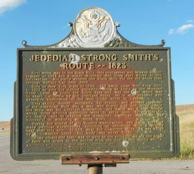
Jedediah Strong Smith’s Route - - 1823
Photographed by Barry Swackhamer, September 6, 2015
1. Jedediah Strong Smith’s Route - - 1823 Marker
Born in New York State in 1799, Jed Smith came West from Ohio in 1822 to join Ashley expedition from St. Louis up the Missouri River. Later, he found the South Pass and was the first white man to reach California by the overland route. He is also credited with extensive exploration of the West Coast north to Canada.
This skillful hunter, successful fur trader, and pioneer explorer of the American West was a man who feared God and loved peace. His Bible was his constant companion. Jed Smith was a trail blazer whose three driving ambitions were to serve God, to provide for his family, and to explore the unmapped American West. He was successful in attaining all three goals.
During the course of his Western explorations, Jed Smith survived many perilous experiences, including an encounter with a grizzly bear near this spot. In 1831 near the Cimarron River, he was killed by a Comanche
this page online
‘When others lost their way or gave up the struggle, he ate the bread of faith and drank to the bottom from the cup of the Lord’s will.’* * Quotation by Donald Culross Peattie, Copyright 1960
Erected 1976 by The Jedediah Smith Corral - Westerners' International, Hot Springs, South Dakota Department of Transportation and The South Dakota Historical Society. (Marker Number 469.)
Topics and series. This historical marker is listed in this topic list: Exploration. In addition, it is included in the South Dakota State Historical Society Markers series list. A significant historical year for this entry is 1823.
Location. 43° 30.808′ N, 103° 19.583′ W. Marker is near Buffalo Gap, South Dakota, in Custer County. It is on U.S. 79 near County Route 101, on the right when traveling north. Touch for map. Marker is in this post office area: Buffalo Gap SD 57722, United States of America. Touch for directions.

Regionally, this marker is in West River and in Greater Rapid City. It is also in the American Black Hills, in the Lewis & Clark Corridor, on the prairies, and on the Northern Plains. Globally,
Photographed by Barry Swackhamer, September 6, 2015
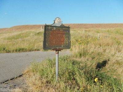
2. Jedediah Strong Smith’s Route - - 1823 Marker
Other nearby markers. At least 8 other markers are within 9 miles of this marker, measured as the crow flies: Civilian Conservation Corps Camp (approx. 7½ miles away); Stephen Tyng Mather (approx. 8.2 miles away); The CCC's Enduring Legacy (approx. 8.2 miles away); Home on the Range (approx. 8.2 miles away); Paha Sapa Limestone (approx. 8.2 miles away); Vanishing Prairie (approx. 8.7 miles away); Fall River Falls (approx. 8.7 miles away); Bringing Back the Bison (approx. 8.8 miles away).
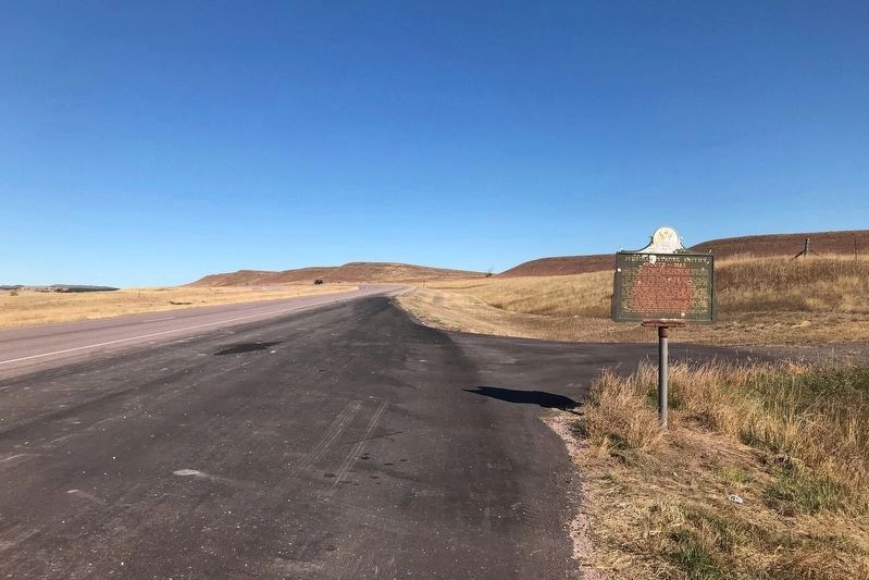
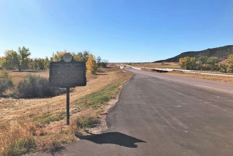
More about this marker. This marker is located on the east side of Highway 79, just north of Beaver Creek.
Also see . . . Jedediah Smith - Blazing the Rockies - Legends of America. He then was sent with a message to Ashley, who had wintered downriver. Ashley, Smith and the other fur trappers soon encountered hostilities with the Arikara Indians and in the battle that ensued on June 1, 1823, Smith was said to have distinguished himself for bravery.
October 17, 2021
3. Jedediah Strong Smith’s Route - - 1823 Marker, from the south
October 17, 2021
4. Jedediah Strong Smith’s Route - - 1823 Marker, from the north
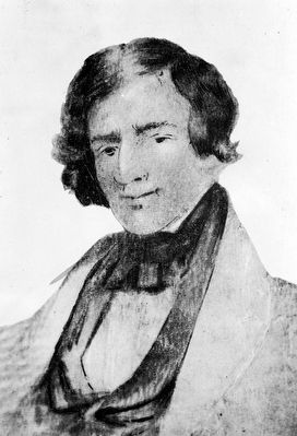
5. Jedediah Strong Smith
Credits. This page was last revised on October 23, 2021. It was originally submitted on October 7, 2015, by Barry Swackhamer of Brentwood, California. This page has been viewed 1,433 times since then and 78 times this year. Photos: 1, 2. submitted on October 7, 2015, by Barry Swackhamer of Brentwood, California. 3, 4. submitted on October 22, 2021. 5. submitted on October 7, 2015, by Barry Swackhamer of Brentwood, California.
