Sunbury in Liberty County, Georgia — The American South (South Atlantic)
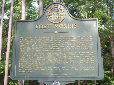
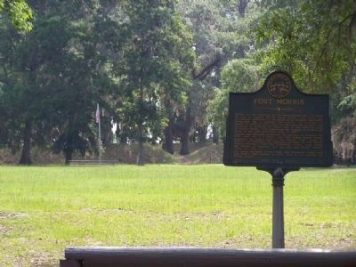
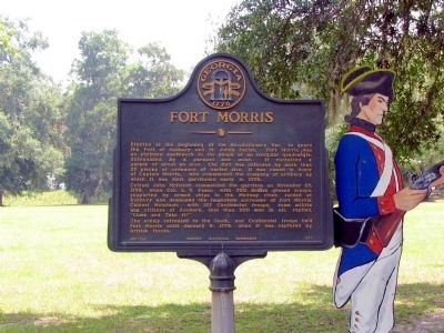
Fort Morris
Colonel John McIntosh commanded the garrison on November 25, 1778, when Col. L.V. Fuser, with 500 British ground troops, supported by armed ships in the Medway river, landed at Sunbury and demanded the immediate surrender of Fort Morris. Colonel McIntosh, with 127 Continental troops, some militia and citizens of Sunbury, less than 200 men in all, replied, "Come and Take It !"
The enemy retreated to the South, and Continental troops held Fort Morris until January 9, 1779, when it was captured by British forces.
Erected 1957 by Georgia Historical Commission. (Marker Number 089-12A.)
Topics and series. This historical marker is listed in these topic lists: Colonial Era • Patriots & Patriotism • War, US Revolutionary. In addition, it is included in the Georgia Historical Society series list. A significant historical date for this entry is January 9, 1786.
Location. 31° 45.672′ N, 81° 16.955′ W. Marker is in Sunbury, Georgia, in Liberty County. Marker is on Martin Road, in the median. Located at the visitor center for Fort Morris/Sunbury Historic Site. The center is located off Fort Morris Road, at the end of the Colonels Island Highway (Ga Route 38). Touch for map. Marker is in this post office area: Midway GA 31320, United States of America. Touch for directions.
Other nearby markers. At least 8 other markers are within 4 miles of this marker, measured as the crow flies. The Famous Sunbury "Masonic" Oak (about 400 feet away, measured in a direct line); The Old Sunbury Road (approx. half a mile away); Sunbury Cemetery (approx. 0.6 miles away); a different marker also named The Sunbury Cemetery (approx. 0.6 miles away); Sunbury (approx. 0.6 miles away); Saint John's Lodge Number Six (approx. 0.6 miles away); The Dead Town Of Sunbury (approx. 0.7 miles away); Colonel's Island (approx. 3˝ miles away). Touch for a list and map of all markers in Sunbury.
Regarding Fort Morris. Fort Morris State Park
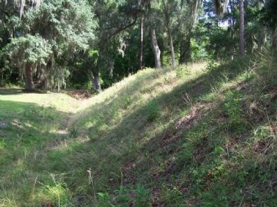
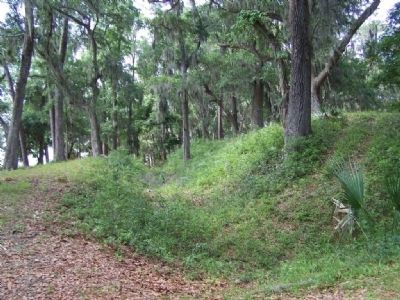
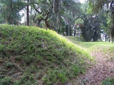
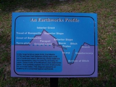
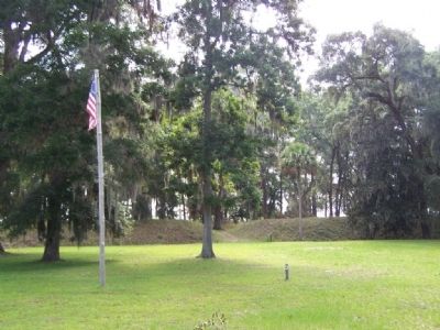
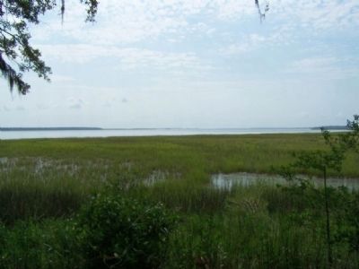
The Fort Morris site was originally a Guale Indian village, closely tied to the settlements and Spanish missions on nearby St. Catherine's Island. It was here, on February 21, 1734, that General James Oglethorpe, founder of Georgia, held the first Masonic meeting in the new British colony. The American Revolution brought considerable changes to the region. In 1776, delegates attending the Continental Congress recognized the strategic importance of having a fort to protect Georgia's middle coast from attack by the English navy. On a low bluff of the Medway River, near the important colonial seaport of Sunbury, a fort was constructed and garrisoned by 200 patriots. Fort Morris defended Georgia against the British again during the War of 1812, when it was known as Fort Defiance.
Credits. This page was last revised on March 10, 2021. It was originally submitted on July 7, 2008, by Mike Stroud of Bluffton, South Carolina. This page has been viewed 3,425 times since then and 55 times this year. Last updated on March 9, 2021, by Carl Gordon Moore Jr. of North East, Maryland. Photos: 1, 2, 3, 4, 5, 6, 7, 8. submitted on July 7, 2008, by Mike Stroud of Bluffton, South Carolina. 9. submitted on January 31, 2009, by David Seibert of Sandy Springs, Georgia. • Bernard Fisher was the editor who published this page.
