Tonopah in Nye County, Nevada — The American Mountains (Southwest)
Into the Depths
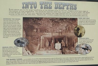
Working The Mines
The men sitting to the left near the axe and pick may have worked with the timber. The men in the center my be Cousin Jacks (drillers). Further right note the jackleg drill held upright and connected to the hose which provides air for power. the miners standing in the tunnel may be muckers who break up and shovel out the rock.
Manual Steel Drill
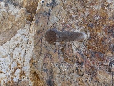
When you arrive at the end of the tunnel, look for the drill with the flattened head stuck in the rock. Unable to pull it out, a frustrated miner may have walked away in disgust.
Dark And Light
In the extreme darkness of mining underground, light was provided by candles. The miner's candlesticks (below) were he primary source.
Jackleg Drill
At the end of the tunnel, look to your right to discover this abandoned "jackleg" drill.
The Burro Tunnel
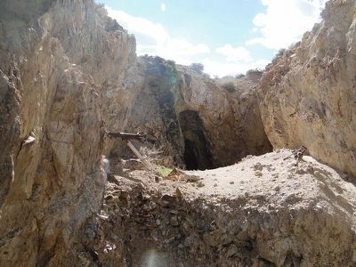
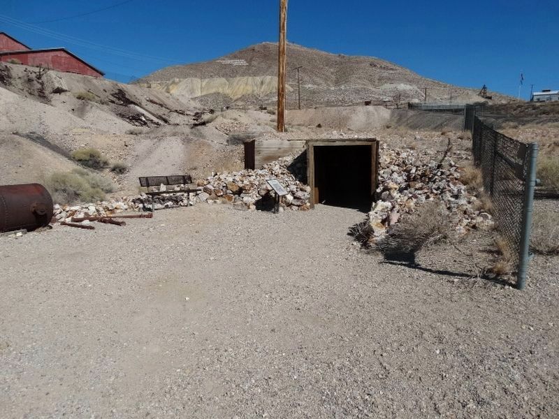
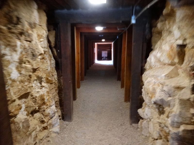
Is a re-creation of one of the many tunnels which lie under the Mining Park. As you enter, notice the heavy timbers. Original lighting would have been with candles. When you reach the end of the tunnel, you will come face to face with one of the original mine stopes called the "Burro Vein" of silver discovered by Jim Butler in May 1900. When the vein was first developed, the digging opened in this stope and the tunnel was built to bring out the ore. The ore was then loaded into ore cars located in the trench outside the tunnel. Later tunnels were dug to the Mizpah shaft, so that ore could be brought to the surface with a hoist.
Erected by Tonopah Historic Mining Park.
Topics. This historical marker is listed in this topic list: Industry & Commerce. A significant historical year for this entry is 1900.
Location. 38° 4.21′ N, 117° 13.761′ W. Marker is in Tonopah, Nevada, in Nye County. Marker can be reached from 110 Burro Avenue. The GPS coordinates are for the Tonopah Mining Park in general. They will not take you directly to the marker. If you are going all the way to Tonopah to see this marker, you might as well walk around and see all the rest too. Touch for map. Marker is in this post office area: Tonopah NV 89049, United States of America. Touch for directions.
Other nearby markers. At least 8 other markers are within walking distance of this marker. The Leasers (within shouting distance of this marker); Stopes (within shouting distance of this marker); Mizpah Mine Powder Magazine (within shouting distance of this marker); Verdi Lumber Company Coal Bin (within shouting distance of this marker); Teamsters (within shouting distance of this marker); Undiscovered Silver Vein (within shouting distance of this marker); Framing Building (within shouting distance of this marker); The Hoistmen (about 300 feet away, measured in a direct line). Touch for a list and map of all markers in Tonopah.
Credits. This page was last revised on October 27, 2021. It was originally submitted on October 14, 2015, by Trev Meed of Round Mountain, Nevada. This page has been viewed 461 times since then and 27 times this year. Photos: 1, 2, 3. submitted on October 14, 2015, by Trev Meed of Round Mountain, Nevada. 4, 5, 6. submitted on October 24, 2021, by Denise Boose of Tehachapi, California. • Andrew Ruppenstein was the editor who published this page.
