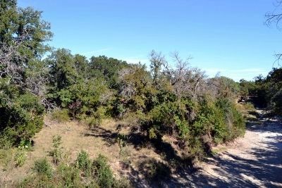
Zephyr in Brown County, Texas — The American South (West South Central)
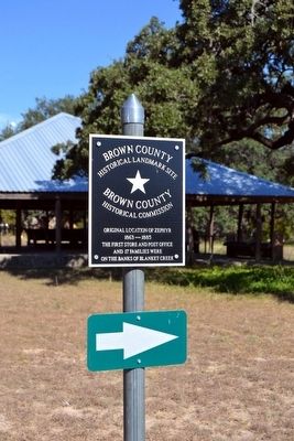
Original Location of Zephyr
1863 – 1885
The first store and post office and 17 families were on the banks of Blanket Creek.
Brown County Historical Landmark Site
Topics and series. This historical marker is listed in this topic list: Settlements & Settlers. In addition, it is included in the Postal Mail and Philately series list. A significant historical year for this entry is 1863.
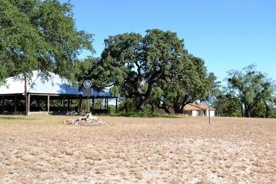
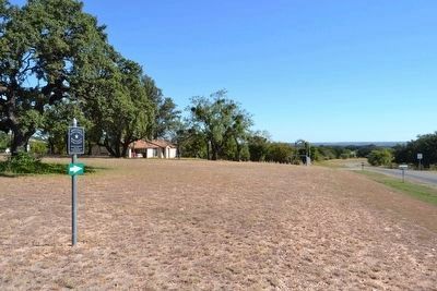
Location. 31° 40.494′ N, 98° 47.548′ W. Marker is in Zephyr, Texas, in Brown County. Marker is at the intersection of Farm to Market Road 218 and County Road 281, on the left when traveling east on Road 218. Touch for map. Marker is in this post office area: Zephyr TX 76890, United States of America. Touch for directions.
Other nearby markers. At least 8 other markers are within 11 miles of this marker, measured as the crow flies. Zephyr Gospel Tabernacle (a few steps from this marker); Zephyr Presbyterian Church (approx. 0.4 miles away); First Baptist Church of Zephyr (approx. 0.4 miles away); Zephyr Cemetery (approx. 0.8 miles away); Walter U. Early (approx. 10.1 miles away); Prisoners of War at Camp Bowie (approx. 10.6 miles away); Site of Chesser Valley Community (approx. 10.6 miles away); Mullin United Methodist Church (approx. 11 miles away). Touch for a list and map of all markers in Zephyr.
Also see . . . Zephyr, TX. From the Texas State Historical Association’s “Handbook of Texas Online”. (Submitted on October 15, 2015.)
Credits. This page was last revised on June 16, 2016. It was originally submitted on October 15, 2015, by Duane Hall of Abilene, Texas. This page has been viewed 528 times since then and 19 times this year. Photos: 1, 2, 3, 4, 5. submitted on October 15, 2015, by Duane Hall of Abilene, Texas.
