Eckley Miners’ Village
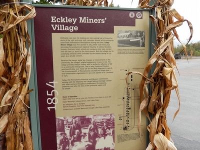
Because the owners made few changes or improvements in the community, the village’s original appearance is easy to see. The village provides today’s visitors with an authentic reflection of life in an anthracite-mining town. That is why Paramount Studios purchased Eckley as a movie set for the Molly Mcguires in 1967-68. The Commonwealth of Pennsylvania acquired the village from a local preservation organization in 1971 and opened it as a museum in 1975.
Today, the Pennsylvania Historical and Museum Commission, working with the Delaware and Lehigh National Heritage Corridor and other
this page online
(Inscription under the photo in the upper right)
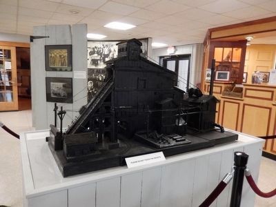
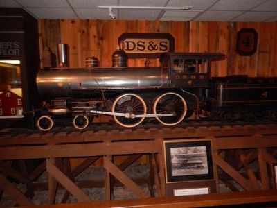
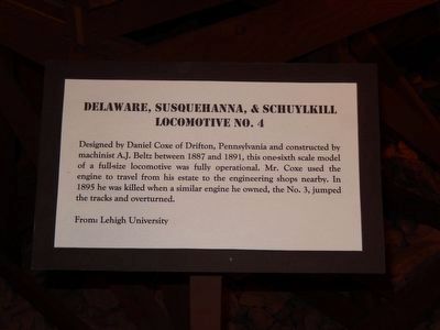
Coal from Ekley and other mines in the region first traveled to market by way of the Delaware and Lehigh Canals. By the late 19th century, railroads became the primary method of moving anthracite.
(Inscription under the image in the lower right)
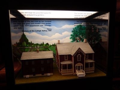
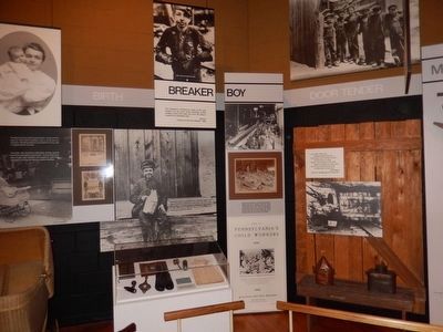
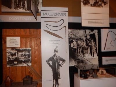
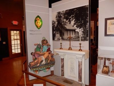
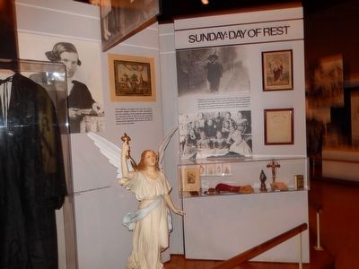
Eckley Miners’ Village today retains about 80 buildings, including mine owner’s houses, miners and laborers’ houses, two churches and other service structures. The Visitor Center exhibition and the village tour explain the growth and decline of the village and the way of life in anthracite “patch towns.”
Erected by Delaware & Lehigh National Heritage Corridor.
Topics. This historical marker is listed in these topic lists: Industry & Commerce • Settlements & Settlers. A significant historical year for this entry is 1854.
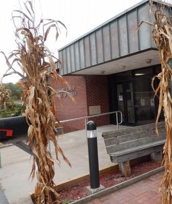
Location. 40° 59.72′ N, 75° 51.377′ W. Marker is near Weatherly, Pennsylvania, in Luzerne County. It is on Main Street. The marker is near the entrance to the Visitor Center, Village of

Regionally, this marker is in Pennsylvania’s Anthracite Coal Region, in the Wyoming Valley, and in Greater Scranton and Wilkes-Barre. It is also in the American Northeast, in the Mid-Atlantic, in Appalachia, and specifically in Northern Appalachia. Globally, it is in North America, the Western Hemisphere, the Western World, and the Anglosphere. Historically, it finds itself in what was once the Haudenosaunee (Iroquois) Confederacy and also one of the original Thirteen Colonies.
Other nearby markers. At least 8 other markers are within walking distance of this marker: Exploring the Corridor (here, next to this marker); Veterans Memorial Tree (a few steps from this marker); The tree of liberty (a few steps from this marker); The Church of the Immaculate Conception (within shouting distance of this marker); a different marker also named Eckley Miners' Village (within shouting distance of this marker); a different marker also named Eckley Miners’ Village (within shouting
Credits. This page was last revised on March 13, 2020. It was originally submitted on October 17, 2015, by Don Morfe of Baltimore, Maryland. This page has been viewed 408 times since then and 20 times this year. Photos: 1, 2, 3, 4, 5, 6, 7, 8, 9, 10, 11, 12, 13, 14, 15, 16, 17, 18. submitted on October 17, 2015, by Don Morfe of Baltimore, Maryland. • Bill Pfingsten was the editor who published this page.
