National Park in Gloucester County, New Jersey — The American Northeast (Mid-Atlantic)
The Soldiers
Red Bank Battlefield
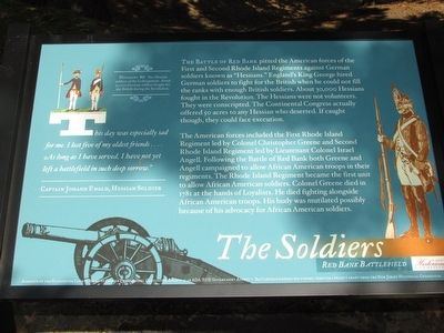
“This day was especially sad for me. I lost five of my oldest friends . . . . As long as I have served, I have not yet left a battlefield in such deep sorrow.”
Hessian soldier
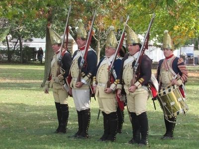
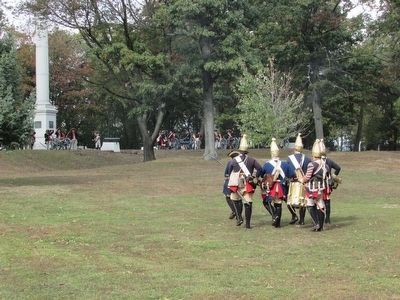
The Battle of Red Bank pitted the American forces of the First and Second Rhode Island Regiments against German soldiers known as “Hessians.” England’s King George hired German soldiers to fight for the British when he could not fill the ranks with enough British soldiers. About 30,000 Hessians fought in the Revolution. The Hessians were not volunteers. They were conscripted. The Continental Congress actually offered 50 acres to any Hessian who deserted. If caught though, they could face execution.
The American forces included the First Rhode Island Regiment led by Colonel Christopher Greene and Second Rhode Island Regiment led by Lieutenant Colonel Israel Angell. Following the Battle of Red Bank both Greene and Angell campaigned to allow African American troops in their regiments. The Rhode Island Regiment became the first unit to allow African American soldiers. Colonel Greene died in 1781 at the hands of Loyalists. He died fighting alongside African American troops. His body was mutilated possibly because of his advocacy for African American soldiers.
Erected 2015 by New Jersey Historical Commission.
Topics. This historical marker is listed in this topic list: War, US Revolutionary. A significant historical date for this entry is October 22, 1777.
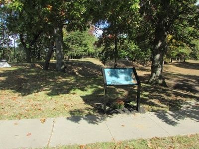
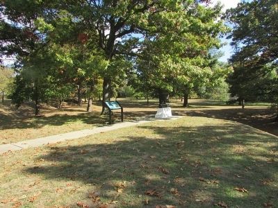
Location. 39° 52.283′ N, 75° 11.35′ W. Marker is in National Park, New Jersey, in Gloucester County. Marker can be reached from Hessian Road, on the right when traveling west. Marker is on the Red Bank Battlefield. Touch for map. Marker is in this post office area: National Park NJ 08063, United States of America. Touch for directions.
Other nearby markers. At least 8 other markers are within walking distance of this marker. African American Soldiers (a few steps from this marker); Colonel Christopher Greene (a few steps from this marker); Battle of Red Bank (within shouting distance of this marker); a different marker also named The Battle of Red Bank (within shouting distance of this marker); Flag of Fort Mercer (within shouting distance of this marker); Fort Mercer (within shouting distance of this marker); a different marker also named Fort Mercer (within shouting distance of this marker); Fort Mercer at Red Bank / Fort Mercer is Alerted (within shouting distance of this marker). Touch for a list and map of all markers in National Park.
More about this marker. The upper left of the marker contains a picture of two Hessian soldiers of the Leib Regiment. It includes a caption of “About 30,000 German soldiers fought for the British during the Revolution.”
Also see . . . Red Bank Battlefield. Wikipedia entry (Submitted on November 18, 2023, by Larry Gertner of New York, New York.)
Credits. This page was last revised on November 18, 2023. It was originally submitted on October 20, 2015, by Bill Coughlin of Woodland Park, New Jersey. This page has been viewed 368 times since then and 16 times this year. Photos: 1, 2, 3, 4, 5. submitted on October 20, 2015, by Bill Coughlin of Woodland Park, New Jersey.
