Bacon Park Area/Sandfly in Savannah in Chatham County, Georgia — The American South (South Atlantic)
Sandfly
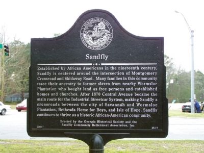
Established by African Americans in the nineteenth century, Sandfly is centered around the intersection of Montgomery Crossroad and Skidaway Road. Many families in this community trace their ancestry to former slaves from nearby Wormsloe Plantation, bought land as free persons, and established homes and churches. After 1870 Central Avenue became the main route for the Industrial Streetcar System, making Sandfly a crossroads between the city of Savannah and Wormsloe Plantation, Bethesda Home for Boys, Isle of Hope, and Pinpoint. Sandfly continues to thrive as a historic African-American community.
Erected 2003 by Georgia Historical Society , Sandfly Community Betterment Association, Inc. (Marker Number 25-17.)
Topics and series. This historical marker is listed in these topic lists: African Americans • Settlements & Settlers. In addition, it is included in the Georgia Historical Society series list. A significant historical year for this entry is 1870.
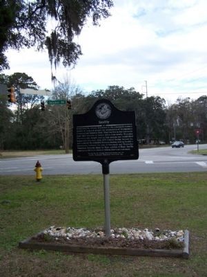
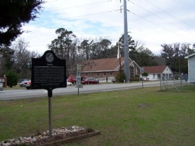
Location. 31° 59.389′ N, 81° 4.556′ W. Marker is in Savannah, Georgia, in Chatham County. It is in the Bacon Park Area/Sandfly. Marker is on Skidaway Road near Montgomery Cross Road, on the right when traveling north. Touch for map. Marker is in this post office area: Savannah GA 31406, United States of America. Touch for directions.
Other nearby markers. At least 8 other markers are within 3 miles of this marker, measured as the crow flies. Isle of Hope (approx. 0.6 miles away); Isle of Hope Methodist Church (approx. 1.1 miles away); a different marker also named Isle of Hope (approx. 1.2 miles away); Mercer Auto Camp (approx. 1.3 miles away); Noble Jones’ “Wormslow” (approx. 1.6 miles away); Bethesda (approx. 2.4 miles away); Haven Home Industrial Training School (approx. 2.4 miles away); Brick Pillar (approx. 2.4 miles away). Touch for a list and map of all markers in Savannah.
Also see . . . Marker Monday: Sandfly. Georgia Historical Society website entry (Submitted on January 2, 2024, by Larry Gertner of New York, New York.)
Credits. This page was last revised on January 2, 2024. It was originally submitted on January 27, 2009, by Mike Stroud of Bluffton, South Carolina. This page has been viewed 1,765 times since then and 53 times this year. Last updated on October 21, 2015, by Byron Hooks of Sandy Springs, Georgia. Photos: 1, 2, 3. submitted on January 27, 2009, by Mike Stroud of Bluffton, South Carolina. • Bill Pfingsten was the editor who published this page.


