Grassy Creek in Russell County, Virginia — The American South (Mid-Atlantic)
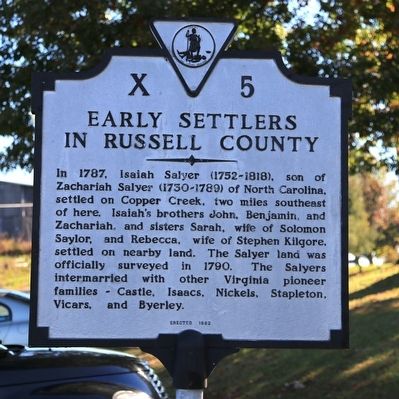
Early Settlers in Russell County
Erected 1982. (Marker Number X-5.)
Topics and series. This historical marker is listed in this topic list: Settlements & Settlers. In addition, it is included in the Virginia Department of Historic Resources (DHR) series list. A significant historical year for this entry is 1787.
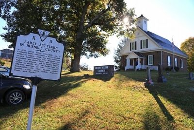
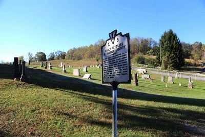
Location. 36° 46.954′ N, 82° 20.463′ W. Marker is in Grassy Creek, Virginia, in Russell County. Marker is at the intersection of Virginia Route 71 and Lower Copper Creek Road (County Route 678), on the left when traveling west on State Route 71. It is at Grassy Creek Church. Touch for map. Marker is in this post office area: Castlewood VA 24224, United States of America. Touch for directions.
Other nearby markers. At least 8 other markers are within 8 miles of this marker, measured as the crow flies. Dorton’s Fort (approx. 3.8 miles away); Houston’s Fort (approx. 5.1 miles away); Moore’s Fort (approx. 5˝ miles away); Kilgore Fort House (approx. 6.1 miles away); Old Russell County Courthouse (approx. 6.7 miles away); Russell’s Fort (approx. 7˝ miles away); Patrick Hagan and Dungannon (approx. 7.7 miles away); Flanary Archaeological Site (approx. 7.7 miles away).
Also see . . . Russell County, Virginia: History Revealed Through Biographical and Genealogical Sketches of Its Anc. 2013 book by M. Secrist at Amazon.com with "Look inside" preview. (Submitted on October 22, 2015.)
Credits. This page was last revised on June 16, 2016. It was originally submitted on October 22, 2015, by J. J. Prats of Powell, Ohio. This page has been viewed 2,209 times since then and 276 times this year. Photos: 1, 2, 3. submitted on October 22, 2015, by J. J. Prats of Powell, Ohio.


