Near Sinclair in Carbon County, Wyoming — The American West (Mountains)
Sheepherder's Community
Photographed by Barry Swackhamer, September 9, 2015
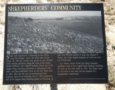
1. Sheepherder's Community Marker
L.E. Vivian, owner of the Leo Sheep Company, purchased most of the Cosgriff land holdings including the land at Fort Fred Steele in 1915. The house, lean-to, and shed in this area are the remains of a sheepherders' community.
Erected by Wyoming Recreation Commission.
Topics. This historical marker is listed in these topic lists: Animals • Industry & Commerce.
Location. 41° 46.562′ N, 106° 56.794′ W. Marker is near Sinclair, Wyoming,
this page online

Regionally, this marker is in the Westward Expansion Trails Region. It is also in the American Mountain West. Globally, it is in North America, the Rocky Mountains, the Western Hemisphere, the Western World, and the Anglosphere. Historically, it finds itself in what was once the Republic of Texas.
Other nearby markers. At least 8 other markers are within walking distance of this marker: Ranching (here, next to this marker); Sheep Industry (a few steps from this marker); Sheep Ranching (a few steps from this marker); Bridge Tender's House (about 400 feet away, measured in a direct line); Railroad and River (about 400 feet away); Brownsville and Benton (about 400 feet away); Carbon Timber Company (about 400 feet away); A Well Traveled Sawmill (about 400 feet away). Touch for a list and map of all markers in Sinclair.
More about this marker. This marker, among a grouping of a four markers, is located at
Photographed by Barry Swackhamer, September 9, 2015
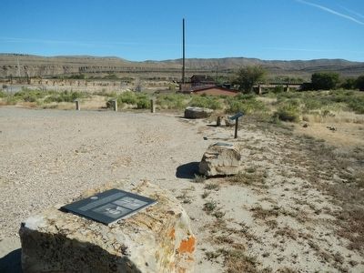
2. Sheepherder's Community Marker
Photographed by Barry Swackhamer, September 9, 2015
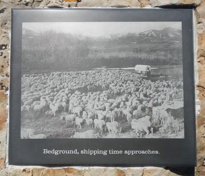
3. Bed ground, shipping time approaches
Photographed by Barry Swackhamer, September 9, 2015
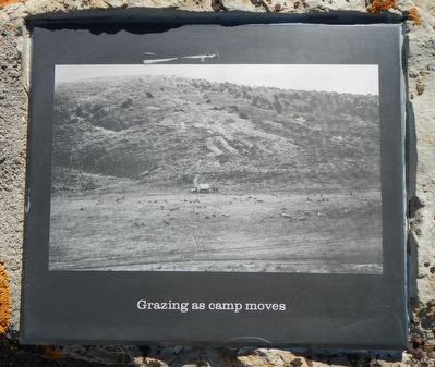
4. Grazing as camp moves
Photographed by Barry Swackhamer, September 9, 2015
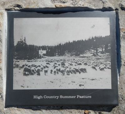
5. High Country Summer Pasture
Photographed by Barry Swackhamer, September 9, 2015
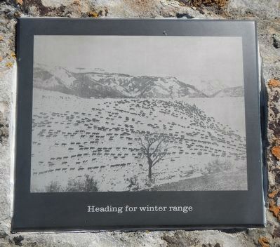
6. Heading for winter range
Credits. This page was last revised on June 16, 2016. It was originally submitted on October 25, 2015, by Barry Swackhamer of Brentwood, California. This page has been viewed 586 times since then and 27 times this year. Photos: 1, 2, 3, 4, 5, 6. submitted on October 25, 2015, by Barry Swackhamer of Brentwood, California.
