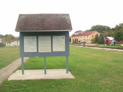
The Railroad in Mazomanie
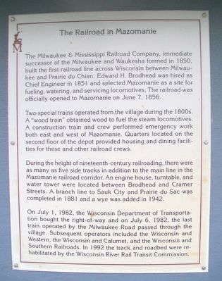
The Milwaukee & Mississippi Railroad Company, immediate successor of the Milwaukee and Waukesha formed in 1850, built the first railroad line across Wisconsin between Milwaukee and Prairie du Chien. Edward H. Brodhead was hired as Chief Engineer in 1851 and selected Mazomanie as a site for fueling, watering, and servicing locomotives. The railroad was officially opened to Mazomanie on June 7, 1856.
Two special trains operated from the village during the 1800s. A "wood train" obtained wood to fuel the steam locomotives. A construction train and crew performed emergency work both east and west of Mazomanie. Quarters located on the second floor of the depot provided housing and dining facilities for these and other railroad crews.
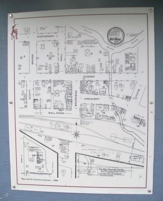
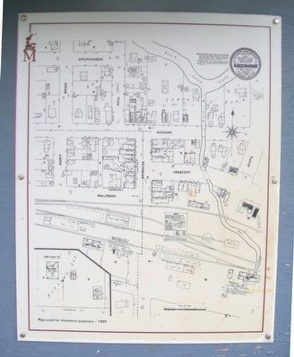
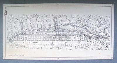
During the height of nineteenth-century railroading, there were as many as five side tracks in addition to the main line in the Mazomanie railroad corridor. An engine house, turntable, and water tower were located between Brodhead and Cramer Streets. A branch line to Sauk City and Prairie du Sac was completed in 1881 and a wye added in 1942.
On July 1, 1982, the Wisconsin Department of Transportation bought the right-of-way and on July 6, 1982, the last train operated by the Milwaukee Road passed through the village. Subsequent operators included the Wisconsin and Western, the Wisconsin and Calumet,
and the Wisconsin and Southern Railroads. In 1992 the track and roadbed were rehabilitated by the Wisconsin River Rail Transit Commission.Topics. This historical marker is listed in these topic lists: Industry & Commerce • Railroads & Streetcars. A significant historical year for this entry is 1850.
Location. 43° 10.536′ N, 89° 47.588′ W. Marker is in Mazomanie, Wisconsin, in Dane County. Marker is at the intersection of Brodhead Street (County Road Y) and the railroad grade crossing, on the right when traveling north on Brodhead Street. Marker is along the path leading east from the parking lot. Touch for map. Marker is in this post office area: Mazomanie WI 53560, United States of America. Touch for directions.
Other nearby markers. At least 8 other markers are within walking distance of this marker. The Branch Line (here, next to this marker); The Mazomanie Depot (here, next to this marker); The Mazomanie Downtown Historic District (here, next to this marker); The Flag on the Bluff (within shouting distance of this marker); Mazomanie (within shouting distance of this marker); The Turntable, The Engine House, The Water Tower (within shouting distance of this marker); Crescent Street Factories, Mazomanie Blacksmiths, Coal Buildings (within shouting distance of this marker); Lynch and Walker Flouring Mill (about 400 feet away, measured in a direct line). Touch for a list and map of all markers in Mazomanie.
Also see . . .
Credits. This page was last revised on August 12, 2021. It was originally submitted on October 27, 2015, by William Fischer, Jr. of Scranton, Pennsylvania. This page has been viewed 567 times since then and 32 times this year. Last updated on February 27, 2021, by Jim Schaettle of Madison, Wisconsin. Photos: 1, 2, 3, 4, 5. submitted on October 28, 2015, by William Fischer, Jr. of Scranton, Pennsylvania. • Bill Pfingsten was the editor who published this page.
