Reading in Windsor County, Vermont — The American Northeast (New England)
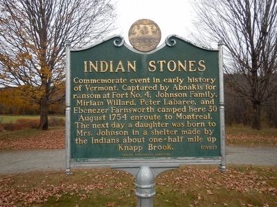
Indian Stones
Erected by Reading Bicentennial Committee.
Topics. This historical marker is listed in these topic lists: Native Americans • Settlements & Settlers. A significant historical date for this entry is August 30, 1754.
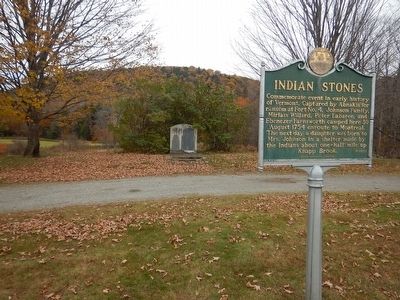
Location. 43° 26.792′ N, 72° 32.13′ W. Marker is in Reading, Vermont, in Windsor County. Marker is on Vermont Route 106 north of Knapp Brook Road, on the right when traveling north. Marker is located at a small pull-out. Touch for map. Marker is in this post office area: Reading VT 05062, United States of America. Touch for directions.
Other nearby markers. At least 8 other markers are within 8 miles of this marker, measured as the crow flies. Salmond Bridge (approx. 2.7 miles away); Bomber Crash on Hawks Mountain / Crew of B-29A #44-62228 Crashed Perkinsville, Vermont 15 June 1947 (approx. 5.2 miles away); The Gage Accident (approx. 5.7 miles away); Salmon Portland Chase (approx. 7½ miles away in New Hampshire); Robbins and Lawrence Armory and Machine Shop (approx. 7.6 miles away); a different marker also named Robbins and Lawrence Armory and Machine Shop (approx. 7.6 miles away); Edwin A. Battison (approx. 7.6 miles away); a different marker also named Robbins and Lawrence Armory and Machine Shop (approx. 7.6 miles away).
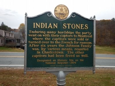
More about this marker. Designated an Historic Site on the National Register - 1974.

Photographed By Kevin Craft, October 24, 2015
4. Indian Stones
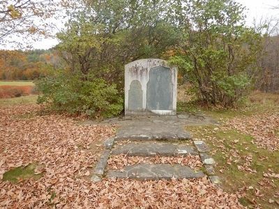
Engraved above left stone:In 1918, These stones were placed in their present position by a descendant of Captain James Johnson and Susannah, his wife.
Engraved on left stone:On the 31st of August 1754, Capt. James Johnson had a daughter born on this spot of ground, being captivated with his whole family by the Indians.
Engraved on right stone: This is near the spot that the Indians encamped the night after they took Mr. Johnson & family, Mr. Laberee & Farnsworth. August 30th 1754 and Mrs Johnson was delivered of her child half a mile up this brook.
Credits. This page was last revised on June 16, 2016. It was originally submitted on October 30, 2015, by Kevin Craft of Bedford, Quebec. This page has been viewed 557 times since then and 34 times this year. Photos: 1, 2, 3, 4. submitted on October 30, 2015, by Kevin Craft of Bedford, Quebec.


