Jones Creek in Brazoria County, Texas — The American South (West South Central)
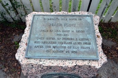
Peach Point
Peach Point
Home of Mrs. Emily M. Perry
1795-1851
Only sister of Stephen F. Austin,
who regarded the place as his home
after the burning of San Felipe
on March 29, 1836
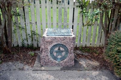
Erected 1936 by Texas Highway Department. (Marker Number 9581.)
Topics and series. This historical marker is listed in this topic list: Notable Places. In addition, it is included in the Texas 1936 Centennial Markers and Monuments series list. A significant historical date for this entry is March 29, 1836.
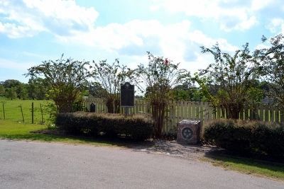
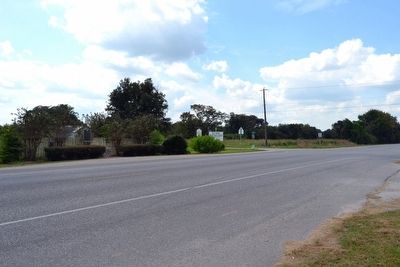
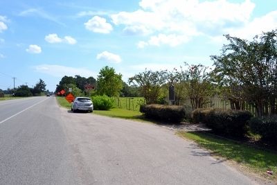
Location. 28° 58.709′ N, 95° 28.323′ W. Marker is in Jones Creek, Texas, in Brazoria County. Marker is at the intersection of State Highway 36 and Gulf Prairie Road, on the right when traveling east on State Highway 36. Marker is at south corner of the intersection of SH 36, Gulf Prairie Road, and Peach Point Road. Touch for map. Marker is in this post office area: Freeport TX 77541, United States of America. Touch for directions.
Other nearby markers. At least 8 other markers are within walking distance of this marker. Major Guy M. Bryan, C.S.A. (here, next to this marker); Battle of Jones Creek (here, next to this marker); James Franklin Perry (about 800 feet away, measured in a direct line); Emily Margaret Brown Austin Bryan Perry (about 800 feet away); General Stephen Fuller Austin (about 800 feet away); Major Reuben R. Brown (approx. 0.2 miles away); William Joel Bryan (approx. 0.2 miles away); Henry William Munson (approx. 0.2 miles away). Touch for a list and map of all markers in Jones Creek.
Also see . . . Peach Point Plantation. From the Texas State Historical Association’s “Handbook of Texas Online”. (Submitted on November 3, 2015.)
Credits. This page was last revised on June 16, 2016. It was originally submitted on November 3, 2015, by Duane Hall of Abilene, Texas. This page has been viewed 842 times since then and 44 times this year. Photos: 1, 2. submitted on November 3, 2015, by Duane Hall of Abilene, Texas. 3, 4, 5. submitted on November 2, 2015, by Duane Hall of Abilene, Texas.
