
Ottumwa in Wapello County, Iowa — The American Midwest (Upper Plains)
Ottumwa Freedom Rock Veterans Memorial
Never Forget • Thank You Veterans
— Ray "Bubba" Sorensen II —
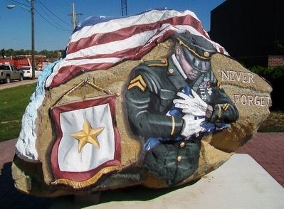
Photographed By William Fischer, Jr., October 11, 2015
1. Ottumwa Freedom Rock Veterans Memorial
——————————
Tuskegee Airmen
——————————
Ottumwa Naval Air Station
——————————
833rd Engineering Company
Iowa Army National Guard
Topics and series. This memorial is listed in these topic lists: Patriots & Patriotism • War, 2nd Iraq • War, Afghanistan • War, World II. In addition, it is included in the Freedom Rock Memorials, and the Tuskegee Airmen series lists.
Location. 41° 0.784′ N, 92° 24.923′ W. Marker is in Ottumwa, Iowa, in Wapello County. Memorial is at the intersection of Church Street and River Street, on the right when traveling north on Church Street. Monument is at the Bridge View Center. Touch for map. Marker is at or near this postal address: 102 Church Street, Ottumwa IA 52501, United States of America. Touch for directions.
Other nearby markers. At least 8 other markers are within 12 miles of this marker, measured as the crow flies. Veterans Memorial (here, next to this marker); Civil War Memorial (approx. half a mile away); Dragoon Trail Historical Site Marker No. 4 (approx. 4.6 miles away); Curtis King
this page online
Also see . . . The Freedom Rock & Freedom Rock Tour. (Submitted on November 4, 2015, by William Fischer, Jr. of Scranton, Pennsylvania.)
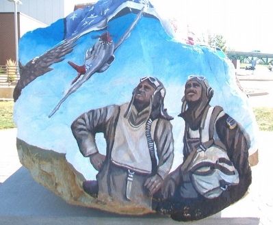
Photographed By William Fischer, Jr., October 11, 2015
2. Ottumwa Freedom Rock Veterans Memorial
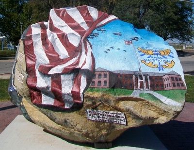
Photographed By William Fischer, Jr., October 11, 2015
3. Ottumwa Freedom Rock Veterans Memorial
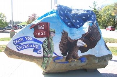
Photographed By William Fischer, Jr., October 11, 2015
4. Ottumwa Freedom Rock Veterans Memorial
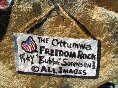
Photographed By William Fischer, Jr., October 11, 2015
5. Ottumwa Freedom Rock Veterans Memorial Artist
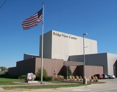
Photographed By William Fischer, Jr., October 11, 2015
6. Ottumwa Freedom Rock Veterans Memorial
Credits. This page was last revised on June 16, 2016. It was originally submitted on November 4, 2015, by William Fischer, Jr. of Scranton, Pennsylvania. This page has been viewed 389 times since then and 9 times this year. Photos: 1, 2, 3, 4, 5, 6. submitted on November 4, 2015, by William Fischer, Jr. of Scranton, Pennsylvania.

