Near Urbana in Champaign County, Ohio — The American Midwest (Great Lakes)
Cedar Bog Nature Preserve
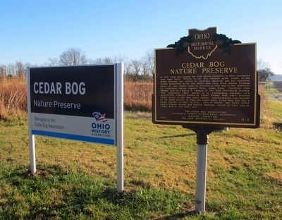
Inscription.
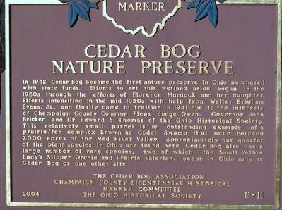
In 1942 Cedar Bog became the first nature preserve in Ohio purchased
with state funds. Efforts to set this wetland aside began in the
1920s through the efforts of Florence Murdock and her daughter.
Efforts intensified in the mid 1930s with help from Walter Brigham
Evens, Jr., and finally came to fruition in 1941 due to the interests
of Champaign County Common Pleas Judge Owens, Governor John
Bicker, and Dr. Edward S. Thomas of the Ohio Historical Society.
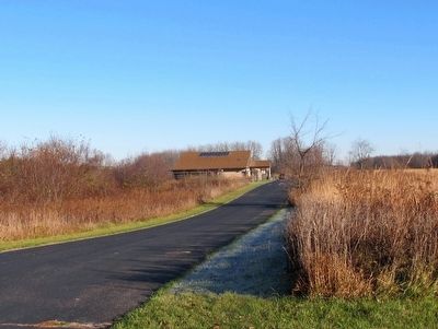
This relatively small parcel is an outstanding example of a
prairie/fen complex known as Cedar Swamp that once covered
7,000 acres of the Mad River Valley. Approximately one quarter
of the plant species in Ohio are found here. Cedar Bog also has a
large number of rare species, two of which, the Small Yellow
Lady's Slipper Orchid and Prairie Valerian, occur in Ohio only at
Cedar Bog or one other site.
Erected 2004 by The Cedar Bog Association Champaign County Bicentennial Historical Marker Committee The Ohio Historical Society. (Marker Number 6-11.)
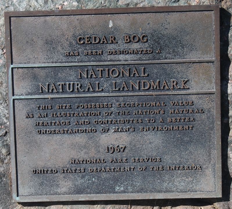
Topics and series. This historical marker is listed in this topic list: Environment. In addition, it is included in the National Natural Landmarks, and the Ohio Historical Society / The Ohio History Connection series lists.
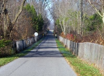
Location. 40° 3.341′ N, 83° 47.531′ W. Marker is near Urbana, Ohio, in Champaign County. Marker is on Woodburn Road (County Route 91), on the right when traveling west. adjacent to Simon Kenton Trail (hiking/biking). Touch for map. Marker is at or near this postal address: 980 Woodburn Road, Urbana OH 43078, United States of America. Touch for directions.
Other nearby markers. At least 8 other markers are within 4 miles of this marker, measured as the crow flies. In Memory and with Appreciation (about 400 feet away, measured in a direct line); Cedar Bog (about 500 feet away); Green Invaders (approx. ¼ mile away); Draining Wetlands (approx. 0.3 miles away); William Owen (approx. 3.1 miles away); Champaign County Vietnam War Memorial (approx. 3.1 miles away); Champaign County Korean War Memorial (approx. 3.1 miles away); Champaign County World War II Memorial (approx. 3.1 miles away). Touch for a list and map of all markers in Urbana.
Credits. This page was last revised on March 17, 2021. It was originally submitted on November 11, 2015, by Rev. Ronald Irick of West Liberty, Ohio. This page has been viewed 565 times since then and 29 times this year. Photos: 1, 2, 3, 4, 5, 6. submitted on November 11, 2015, by Rev. Ronald Irick of West Liberty, Ohio. 7. submitted on October 9, 2020, by Robert Baughman of Bellefontaine, Ohio. • Bill Pfingsten was the editor who published this page.
