
Mansfield in Brown County, South Dakota — The American Midwest (Upper Plains)
John Mansfield
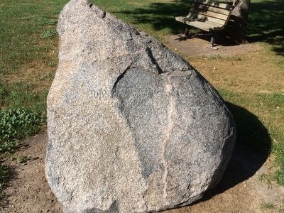
Photographed by Ruth VanSteenwyk, September 29, 2015
1. John Mansfield Marker
Erected by City of Mansfield.
Topics. This historical marker is listed in this topic list: Settlements & Settlers.
Location. 45° 14.592′ N, 98° 33.792′ W. Marker is in Mansfield, South Dakota, in Brown County. It is on N. 2nd St. 0.1 miles north of E. Main St., on the left when traveling north. Marker is located in a park in center of town. The nearby building has notoriety since Lawrence Welk Played there. Touch for map. Marker is in this post office area: Mansfield SD 57460, United States of America. Touch for directions.

Regionally, this marker is in East River and specifically in the James River Valley. It is also in the American Midwest, in the Lewis & Clark Corridor, in the Corn Belt, on the prairies, and on the Northern Plains. Globally, it is in North America, the Western Hemisphere, the Western World, and the Anglosphere. Historically, it finds itself in what was once Rupert’s Land and also the Louisiana Purchase.
Other nearby markers. At least 8 other markers are within 15 miles of
this page online
Additional keywords. Mansfield, South Dakota
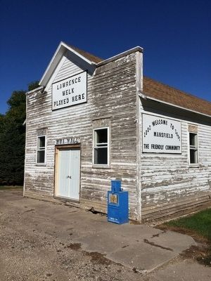
Photographed by Ruth VanSteenwyk, September 29, 2015
2. Lawrence Welk Played Here
Credits. This page was last revised on June 16, 2016. It was originally submitted on November 12, 2015, by Ruth VanSteenwyk of Aberdeen, South Dakota. This page has been viewed 506 times since then and 27 times this year. Photos: 1, 2. submitted on November 12, 2015, by Ruth VanSteenwyk of Aberdeen, South Dakota. • Bill Pfingsten was the editor who published this page.
