Near Pocahontas in Tazewell County, Virginia — The American South (Mid-Atlantic)
Pocahontas Cemetery
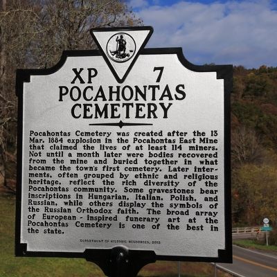
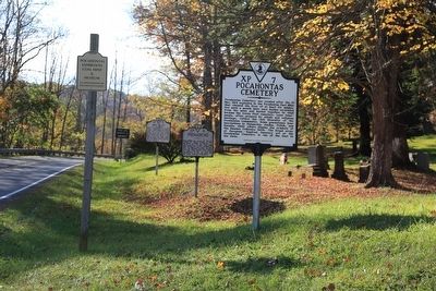
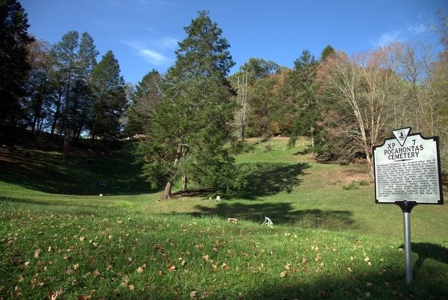
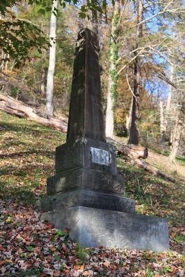
Pocahontas Cemetery was created after the 13 Mar. 1884 explosion in the Pocahontas East Mine that claimed the lives of at least 14 miners. Not until a month later were bodies recovered from the mine and buried together in what became the town’s first cemetery. Later interments, often grouped by ethnic and religious heritage, reflect the rich diversity of the Pocahontas community. Some gravestones bear inscriptions in Hungarian, Italian, and Russian, while others display the symbols of the Russian Orthodox faith. The broad array of European inspired funerary art at the Pocahontas Cemetery is one of the best in the state.
Erected 2012 by Department of Historic Resources. (Marker Number XP-7.)
Topics and series. This historical marker is listed in this topic list: Cemeteries & Burial Sites. In addition, it is included in the Virginia Department of Historic Resources (DHR) series list. A significant historical date for this entry is March 13, 1884.
Location. 37° 18.6′ N, 81° 20.095′ W. Marker is near Pocahontas, Virginia, in Tazewell County. Marker is at the intersection of Centre Street / Bramwell Road (County Route 644) and Falls Mills Road (Virginia Route 102), on the right when traveling west on Centre Street / Bramwell Road. Touch for map . Marker is in this post office area: Pocahontas VA 24635, United States of America. Touch for directions.
Other nearby markers. At least 8 other markers are within 2 miles of this marker, measured as the crow flies. Pocahontas (a few steps from this marker); Abb’s Valley (a few steps from this marker); Jordan Nelson’s Coal Bank (approx. 0.2 miles away in West Virginia); Town of Pocahontas Commercial District (approx. half a mile away); Pocahontas Mine No. 1 (approx. 0.6 miles away); Bramwell (approx. one mile away in West Virginia); Mill Creek Coal & Coke Co. (approx. one mile away in West Virginia); The Coal Barons (approx. 1.6 miles away in West Virginia). Touch for a list and map of all markers in Pocahontas.
Also see . . .
1. Pocahontas Cemetery. Abandoned website entry (Submitted on February 10, 2024, by Larry Gertner of New York, New York.)
2. State money will help restore historic Pocahontas Cemetery. Bluefield Daily Telegraph (Nov 1, 2023) (Submitted on February 10, 2024, by Larry Gertner of New York, New York.)
Credits. This page was last revised on February 10, 2024. It was originally submitted on November 14, 2015, by J. J. Prats of Powell, Ohio. This page has been viewed 1,202 times since then and 216 times this year. Photos: 1, 2, 3, 4. submitted on November 14, 2015, by J. J. Prats of Powell, Ohio.


