Depot Town in Ypsilanti in Washtenaw County, Michigan — The American Midwest (Great Lakes)
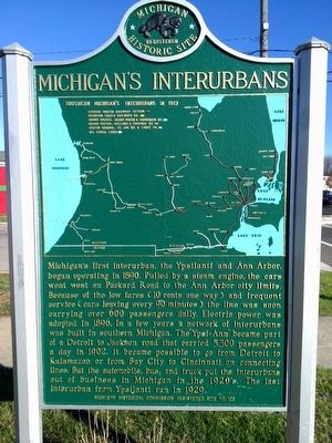
Michigan's Interurbans
Photographed by Joel Seewald, November 14, 2015
1. Michigan's Interurbans Marker
Erected 1957 by Michigan Historical Commission. (Marker Number 128.)
Topics and series. This historical marker is listed in this topic list: Railroads & Streetcars. In addition, it is included in the Michigan Historical Commission series list. A significant historical year for this entry is 1890.
Location. 42° 14.477′ N, 83° 36.379′ W. Marker is in Ypsilanti,
this page online

Regionally, this marker is in Southeast Michigan and in Greater Detroit. It is also in the American Midwest. Globally, it is in North America, the Western Hemisphere, the Western World, and the Anglosphere. Historically, it finds itself in what was once the Northwest Territory.
Other nearby markers. At least 8 other markers are within walking distance of this marker: The Bomber Restaurant (within shouting distance of this marker); The Amazing Quarter Mile (approx. ¼ mile away); Power on the River (approx. ¼ mile away); Michigan Avenue Industry (approx. ¼ mile away); Ypsilanti (approx. 0.3 miles away); Hudsons & Friends (approx. 0.3 miles away); Food and Drink (approx. 0.3 miles away); The Barracks / Ypsilanti in the Civil War (approx. 0.4 miles away). Touch for a list and map
Photographed by Joel Seewald, November 14, 2015
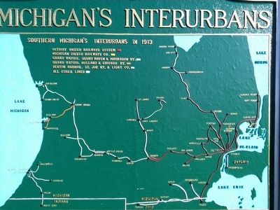
2. Michigan's Interurbans Marker
Map closeup
Photographed by Joel Seewald, November 14, 2015
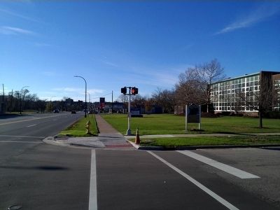
3. Michigan's Interurbans Marker
Credits. This page was last revised on February 12, 2023. It was originally submitted on November 16, 2015, by Joel Seewald of Madison Heights, Michigan. This page has been viewed 1,770 times since then and 80 times this year. Photos: 1, 2, 3. submitted on November 16, 2015, by Joel Seewald of Madison Heights, Michigan.
