Liberty Township near Saxton in Bedford County, Pennsylvania — The American Northeast (Mid-Atlantic)
Phillips' Rangers
Erected 1966 by Pennsylvania Historical & Museum Commission.
Topics and series. This memorial is listed in these topic lists: Native Americans • War, US Revolutionary. In addition, it is included in the Pennsylvania Historical and Museum Commission series list.
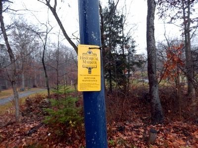
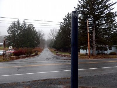
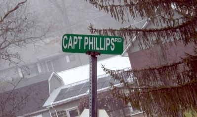
Location. 40° 15.401′ N, 78° 15.531′ W. Marker is near Saxton, Pennsylvania, in Bedford County. It is in Liberty Township. Memorial is at the intersection of Raystown Road (Pennsylvania Route 26) and Capt. Phillips Memorial Road on Raystown Road. This state historical marker is down for maintenance. Touch for map. Marker is at or near this postal address: 11451 Raystown Rd, Saxton PA 16678, United States of America. Touch for directions.
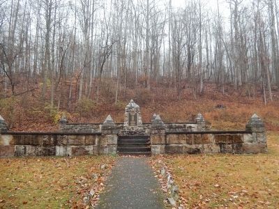
Other nearby markers. At least 8 other markers are within 9 miles of this marker, measured as the crow flies. Capt. Phillips' Rangers Memorial (approx. 0.4 miles away); a different marker also named Capt. Phillips' Rangers Memorial (approx. 0.4 miles away); Veterans Memorial (approx. 3 miles away); Morrisons Cove Gettysburg Memorial (approx. 4.9 miles away); Morrisons Cove Memorial Park (approx. 4.9 miles away); Walton Gene Henry (approx. 4.9 miles away); The Yellow Corner (approx. 5.1 miles away); Shultz Cemetery (approx. 8.3 miles away).
Credits. This page was last revised on February 7, 2023. It was originally submitted on November 29, 2015, by Don Morfe of Baltimore, Maryland. This page has been viewed 614 times since then and 47 times this year. Photos: 1, 2, 3, 4. submitted on November 29, 2015, by Don Morfe of Baltimore, Maryland. • Bill Pfingsten was the editor who published this page.


