Spencerville in Allen County, Ohio — The American Midwest (Great Lakes)
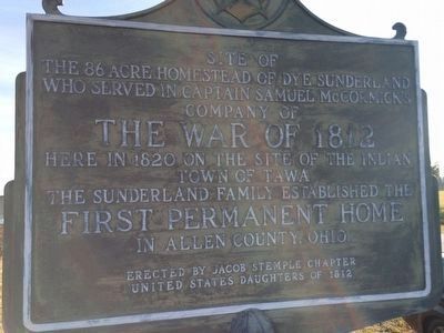
Site of the 86 Acre Homestead of Dye Sunderland
Inscription.
the 86 acre homestead of Dye Sunderland
who served in Captain Samuel McCormick's
Company of
The War of 1812
Here in 1820, on the site of the Indian
town of Tawa
the Sunderland family established the
First Permanent Home
in Allen County, Ohio
Erected by Erected by Jacob Stemple Chapter United States Daughters of 1812.
Topics and series. This historical marker is listed in these topic lists: Native Americans • Settlements & Settlers • War of 1812. In addition, it is included in the United States Daughters of 1812, National Society series list. A significant historical year for this entry is 1820.
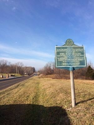
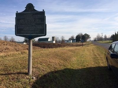
Location. 40° 41.157′ N, 84° 15.753′ W. Marker is in Spencerville, Ohio, in Allen County. Marker is at the intersection of Fort Amanda Road and Sunderland Road, on the right when traveling west on Fort Amanda Road. Touch for map. Marker is in this post office area: Lima OH 45806, United States of America. Touch for directions.
Other nearby markers. At least 8 other markers are within walking distance of this marker. Tawa Town (within shouting distance of this marker); The Cemetery (approx. 0.4 miles away); The 77 Unknown Soldiers (approx. 0.4 miles away); The Story of this Site (approx. 0.4 miles away); Story of Fort Amanda (approx. 0.4 miles away); Strategic Location (approx. 0.4 miles away); Troops Stationed at Fort Amanda (approx. 0.4 miles away); a different marker also named Troops Stationed at Fort Amanda (approx. 0.4 miles away).
More about this marker. Another marker concerning Tawa town is 50 feet away
Credits. This page was last revised on June 16, 2016. It was originally submitted on December 11, 2015, by Michael Baker of Lima, Ohio. This page has been viewed 1,001 times since then and 36 times this year. Photos: 1, 2, 3, 4. submitted on December 11, 2015, by Michael Baker of Lima, Ohio. • Bill Pfingsten was the editor who published this page.


