Vacaville in Solano County, California — The American West (Pacific Coastal)
Uncle Burt's Tree
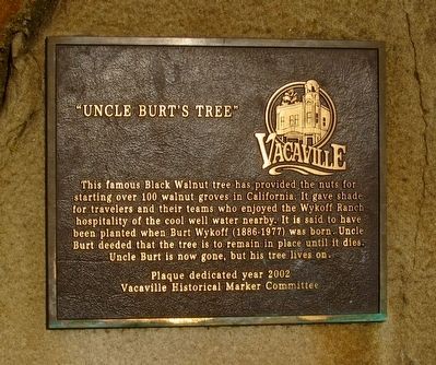
Photographed by Andrew Ruppenstein, December 10, 2015
1. Uncle Burt's Tree Marker
Vacaville Historical Marker Committee
Erected 2002 by Vacaville Historical Marker Committee.
Topics and series. This historical marker is listed in this topic list: Horticulture & Forestry. In addition, it is included in the Historic Trees series list. A significant historical year for this entry is 2002.
Location. 38° 21.543′ N, 122° 0.096′ W. Marker is in Vacaville, California, in Solano County. It is at the intersection of West Monte Vista Avenue and Eldridge Avenue, on the left when traveling west on West Monte Vista Avenue. Touch for map. Marker is at or near this postal address: 401 West Monte Vista Avenue, Vacaville CA 95688, United States of America. Touch for directions.

Regionally, this
this page online
Other nearby markers. At least 8 other markers are within walking distance of this marker: Lincoln Highway (approx. 0.7 miles away); The Andrew Carnegie Public Library (approx. 0.7 miles away); Barcar Building (approx. 0.7 miles away); Triangle Building (approx. ¾ mile away); Gillespie’s Store (approx. ¾ mile away); Site of First Business Building of Record (approx. ¾ mile away); Built 1864 (approx. 0.8 miles away); "The Hospital" (approx. 0.8 miles away). Touch for a list and map of all markers in Vacaville.
Also see . . . More than 100 see offspring of 'Uncle Burt's Tree' planted in Vacaville. (Submitted on December 11, 2015.)
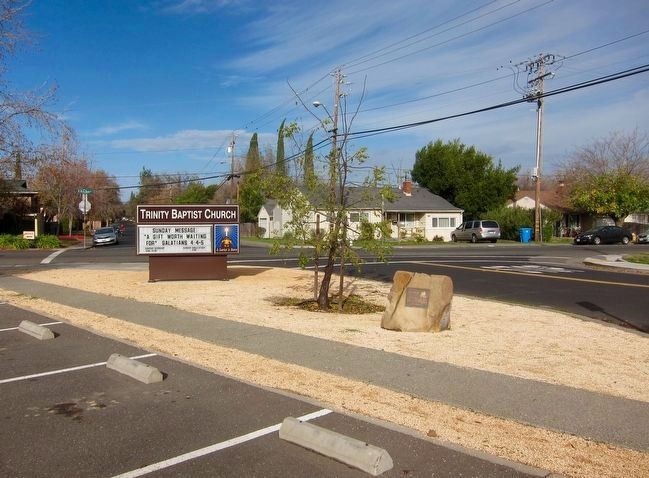
Photographed by Andrew Ruppenstein, December 10, 2015
2. Uncle Burt's Tree Marker
More than 100 years old and 80 feet tall, Uncle Burt's tree was cut down in January 2012 because of safety concerns, as the tree was no longer healthy. Uncle Burt's tree lives on, as the walnut tree visible here (planted March 2012) was germinated from a walnut found around the base of the original tree.
Credits. This page was last revised on June 16, 2016. It was originally submitted on December 11, 2015, by Andrew Ruppenstein of Lamorinda, California. This page has been viewed 839 times since then and 41 times this year. Photos: 1, 2. submitted on December 11, 2015, by Andrew Ruppenstein of Lamorinda, California.
