Amarillo in Potter County, Texas — The American South (West South Central)
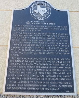
The Amarillo Story
Atchison, Topeka & Santa Fe Railroad
For the ensuing ten years, Amarillo had a monopoly on trade from the South plains, and was the nation's largest rural cattle shipping point, 1892-97. But in 1898 its trade was threatened and the city's very existence jeopardized when it appeared that the (Santa Fe sponsored) Pecos Valley & North Eastern Railway, to be built to Roswell, N.M. (220 mi. SW), might make junction with the Santa Fe at Washburn (15 mi. SE), cutting off ready access to the South plains.
The Santa Fe, however, responded to requests from the citizens to make Amarillo the terminus of the new line. The Santa Fe acquired the Pecos Valley & North Eastern in 1899 and moved headquarters from Panhandle (30 mi. NE) to Amarillo. In 1908 the Santa Fe extended its main line here from Panhandle and built a link from Texico, N.M., to Belen, N.M., making Amarillo a major point on the transcontinental line.
These measures, together with construction of branch lines, contributed vitally to making Amarillo the commercial center of the High Plains. (1973)
Erected 1973 by Texas Historical Commission. (Marker Number 227.)
Topics. This historical marker is listed in these topic lists: Railroads & Streetcars • Settlements & Settlers. A significant historical date for this entry is August 30, 1887.
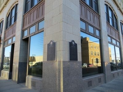
Location. 35° 12.269′ N, 101° 50.268′ W. Marker is in Amarillo, Texas, in Potter County. Marker is at the intersection of South Polk Street and SW 9th Avenue, on the right when traveling south on South Polk Street. Marker is on the southwest corner. Touch for map. Marker is at or near this postal address: 900 South Polk Street, Amarillo TX 79101, United States of America. Touch for directions.
Other nearby markers. At least 8 other markers are within walking distance of this marker. American Mammoths (here, next to this marker); Santa Fe Building (a few steps from this marker); Fisk Medical Arts & Professional Building (about 500 feet away, measured in a direct line); The Bivins Home (about 500 feet away); Louis H. Smith, Inc. Firestone Store (about 600 feet away); Central Presbyterian Church (approx. ¼ mile away); Old First Baptist Church (approx. ¼ mile away); Polk Street Schools (approx. ¼ mile away). Touch for a list and map of all markers in Amarillo.
Credits. This page was last revised on June 16, 2016. It was originally submitted on December 15, 2015, by Bill Kirchner of Tucson, Arizona. This page has been viewed 719 times since then and 46 times this year. Photos: 1, 2. submitted on December 15, 2015, by Bill Kirchner of Tucson, Arizona.

