Mount Pleasant Township near Gettysburg in Adams County, Pennsylvania — The American Northeast (Mid-Atlantic)
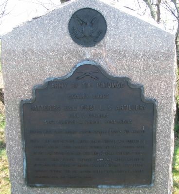
Batteries E & G First U.S. Artillery
Cavalry Corps
— Army of the Potomac —
Inscription.
Cavalry Corps
Batteries E & G First U.S. Artillery
Four 12 pounders
Captain Alanson M. Randol Commanding
July 1 & 2 With First Brigade Second Cavalry Division. Not engaged.
July 3 One section under Lieut. James Chester was ordered to Second Brigade Third Cavalry Division and took position west of the Low Dutch Road and with Brig. Gen. Custer's Second Brigade Third Division Cavalry Corps was hotly engaged in repelling the attack of Major General Stuart's Confederate Cavalry Division. The one section under Lieut. Ernest L. Kinney remained near the Hanover Road.
Erected 1907 by Gettysburg National Military Park Commission.
Topics. This historical marker is listed in this topic list: War, US Civil. A significant historical month for this entry is July 2002.
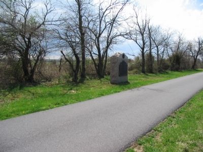
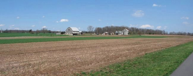
Location. 39° 49.285′ N, 77° 9.884′ W. Marker is near Gettysburg, Pennsylvania, in Adams County. It is in Mount Pleasant Township. Marker is on East Cavalry Avenue, on the right when traveling north. Located in the East Cavalry Battlefield section of the Gettysburg National Military Park. Touch for map. Marker is in this post office area: Gettysburg PA 17325, United States of America. Touch for directions.
Other nearby markers. At least 8 other markers are within walking distance of this marker. Second Brigade (about 700 feet away, measured in a direct line); a different marker also named Batteries E & G First U.S. Artillery (approx. ¼ mile away); 1st Regiment Maryland Cavalry (approx. ¼ mile away); First Brigade (approx. 0.3 miles away); Battery M, Second U.S. Artillery (approx. 0.3 miles away); Second Division (approx. 0.3 miles away); Michigan Cavalry Brigade (approx. 0.3 miles away); Third Brigade (approx. 0.3 miles away). Touch for a list and map of all markers in Gettysburg.
More about this marker. Battery E and Battery G were combined in February of 1862 and operated as one battery at Gettysburg.
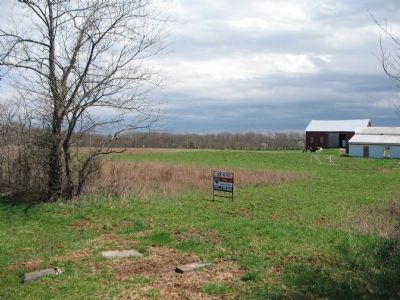
This tablet is duplicated nearby word for word. This tablet indicates the location of Chester's section. The other marks Kinney's location.
The tablet lists the armament of the battery as four 12-pounder "Napoleon" field guns. However other sources indicate the battery used four 3-inch Ordnance Rifled guns.
Also see . . .
1. 1st United States Artillery, Battery E. "The Civil War in the East" unit history. (Submitted on May 23, 2020, by Larry Gertner of New York, New York.)
2. 1st United States Artillery, Battery G. "The Civil War in the East" entry. (Submitted on May 23, 2020, by Larry Gertner of New York, New York.)
Credits. This page was last revised on February 7, 2023. It was originally submitted on July 14, 2008, by Craig Swain of Leesburg, Virginia. This page has been viewed 1,223 times since then and 16 times this year. Photos: 1, 2. submitted on July 15, 2008, by Craig Swain of Leesburg, Virginia. 3, 4. submitted on July 16, 2008, by Craig Swain of Leesburg, Virginia.


