Jacksonville in Jackson County, Oregon — The American West (Northwest)
City Hall
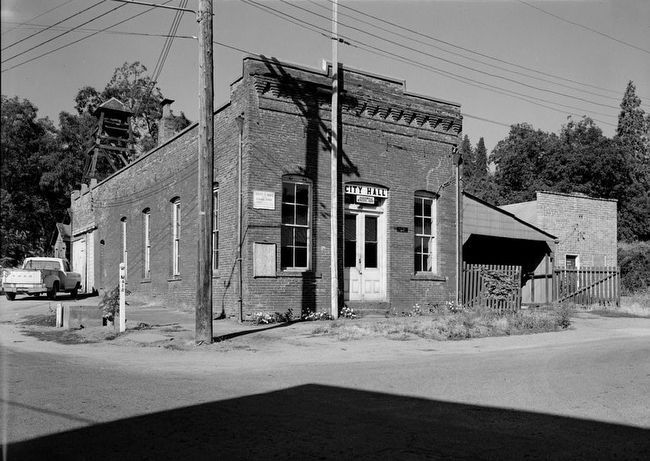
The existing fire bell tower was added some time prior to 1920.
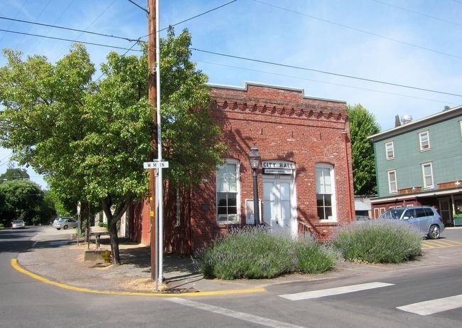
The building has been in continuous use as a city meeting hall since its completion in 1881. Total restoration, sponsored by the Jacksonville Booster Club, was started in 1980 and completed in 1981.
Erected by Southern Oregon Historical Society.
Topics. This historical marker is listed in this topic list: Government & Politics.
Location. 42° 18.842′ N, 122° 58.138′ W. Marker is in Jacksonville, Oregon, in Jackson County. Marker is at the intersection of West Main Street and South Oregon Street, on the right when traveling east on West Main Street. Touch for map. Marker is at or near this postal address: 205 West Main Street, Jacksonville OR 97530, United States of America. Touch for directions.
Other nearby markers. At least 8 other markers are within walking distance of this marker. China Quarter (within shouting distance of this marker); History of Local Telephone Service (within shouting distance of this marker); World War II Three Trees Memorial (within shouting distance of this marker); History Right Here - Furniture Fabrication (about 300 feet away, measured in a direct line); Beekman Bank Well (about 300 feet away); Undermining the Great Depression (about 400 feet away); Rogue River Valley Railroad Depot (about 400 feet away); The Britt House: Simple Frame to Cottage Gothic (about 500 feet away). Touch for a list and map of all markers in Jacksonville.
Also see . . . Jacksonville City Hall, 205 West Main Street, Jacksonville, Jackson County, OR. The Historic American Buildings Survey record for the Jacksonville City Hall. Contains 2 photos and a detailed history of the structure. (Submitted on December 22, 2015.)
Credits. This page was last revised on June 16, 2016. It was originally submitted on December 22, 2015, by Andrew Ruppenstein of Lamorinda, California. This page has been viewed 492 times since then and 13 times this year. Photos: 1, 2, 3. submitted on December 22, 2015, by Andrew Ruppenstein of Lamorinda, California.


