
Lindale in Smith County, Texas — The American South (West South Central)
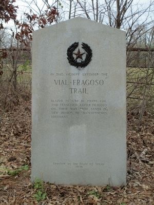
Vial-Fragosa Trail
Photographed by Randal B. Gilbert, December 26, 2015
1. Vial-Fragosa Trail Marker
Erected 1936 by State of Texas. (Marker Number 7766.)
Topics and series. This historical marker is listed in these topic lists: Exploration • Settlements & Settlers. In addition, it is included in the Texas 1936 Centennial Markers and Monuments series list. A significant historical year for this entry is 1788.
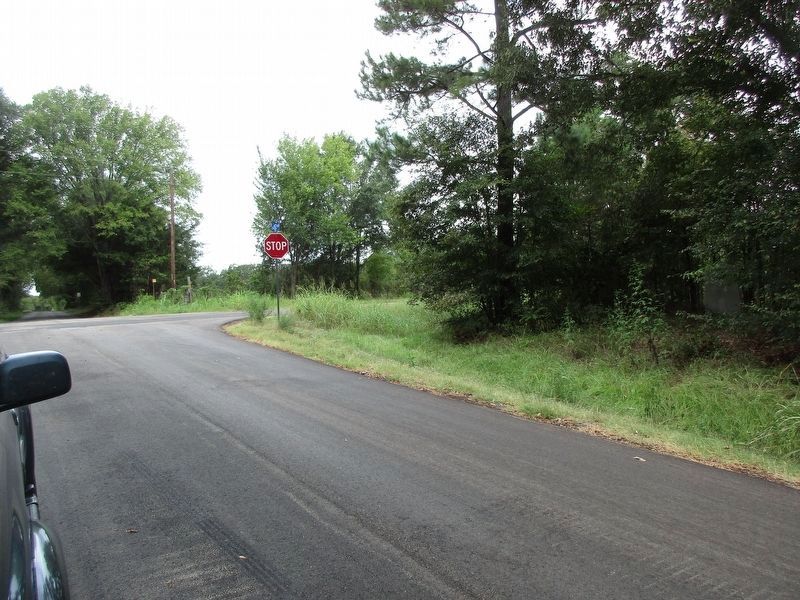
Location. 32° 35.113′ N, 95° 28.871′ W. Marker is in Lindale, Texas, in Smith County. It is at the intersection of Old Dallas-Shreveport Road (County Road 452) and Old Mineola Highway (County Road 431), on the right when traveling west on Old Dallas-Shreveport Road. The marker is at the northeast corner of this intersection. Touch for map. Marker is in this post office area: Lindale TX 75771, United States of America. Touch for directions.

Regionally, this marker is in the American South, specifically in the Deep South, and in the Piney Woods. Globally, it is in North America, a Gulf of Mexico state, the Western Hemisphere, the
this page online
Other nearby markers. At least 8 other markers are within 5 miles of this marker, measured as the crow flies: Flewellen-Thweatt Cemetery (approx. 0.4 miles away); Camp of the Army of the Republic of Texas (approx. 1½ miles away); Site of Flora (approx. 2½ miles away); Duck Creek Soil Erosion Project (approx. 2.7 miles away); Carmel Cemetery (approx. 2.8 miles away); Caddo Indian Communities in Wood County (approx. 3.6 miles away); Dr. Adolphus Leander Patten (approx. 4.9 miles away); George C. Reeves (approx. 4.9 miles away). Touch for a list and map of all markers in Lindale.
Also see . . . Pedro Vial. Vial was one of the first great pathfinders and explorers of the plains. On the trek referenced by this marker, he traveled from Santa Fe to Natchitoches, a distance of over 800 miles in two months. Fragosa is also known as Cháves. (Submitted on December 26, 2015, by Randal B. Gilbert of Tyler, Texas.)
Photographed by Randal B. Gilbert, December 26, 2015
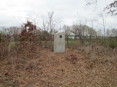
2. Vial-Fragosa Trail Marker
Photographed by Jeff Leichsenring, September 1, 2024
3. Vial-Fragosa Trail Marker (far right)
Credits. This page was last revised on September 4, 2024. It was originally submitted on December 26, 2015, by Randal B. Gilbert of Tyler, Texas. This page has been viewed 1,271 times since then and 60 times this year. Photos: 1, 2. submitted on December 26, 2015, by Randal B. Gilbert of Tyler, Texas. 3. submitted on September 2, 2024, by Jeff Leichsenring of Garland, Texas. • Bernard Fisher was the editor who published this page.
