
Sainte-Mère-Église in Manche, Normandy, France — Western Europe
6 June 1944 at LaFiere Bridge
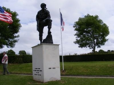
Iron Mike Monument at LaFiere Bridge
| — | Memorial Parachutiste | — |
Photographed by Don Morfe, June 28, 2008
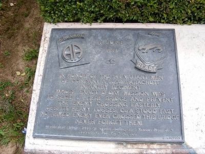
1. 6 June 1944 at LaFiere Bridge Marker
In honor of the 144 valiant men of Company A, 505th Parachute Infantry Regiment whose exact D-Day mission was to seize La Fiere Bridge and prevent the enemy crossing easterly. Despite heavy losses, Co. A stood fast. No enemy ever crossed this bridge. Never forget them.
Erected 1999 by David Bullington*Marcus Heim Jr.*Robert M. Murphy*A.505.
Topics. This memorial is listed in this topic list: War, World II.
Location. 49° 24.085′ N, 1° 21.768′ W. Memorial is in Sainte-Mère-Église, Normandie (Normandy), in Manche. It is on Moulin (D15). Touch for map. Memorial is in this post office area: Sainte-Mère-Église, Normandie 50480, France. Touch for directions.

Regionally, it is in the North Atlantic Region, Europe, the European Union, Atlantic Europe, the Schengen Area, Western Europe, a coastal Mediterranean country, and the Western World. Historically, it finds itself in what was once a French colony and also the Roman Empire.
Other nearby markers. At least 8 other markers are within 5 kilometers of this marker, measured as the crow flies: 80th Airborne Antiaircraft Battalion, 82nd Airborne Div. U.S. Army
this page online
Photographed by Don Morfe, June 28, 2008
2. Iron Mike Monument-Memorial Parachutiste
Photographed by Don Morfe, June 28, 2008
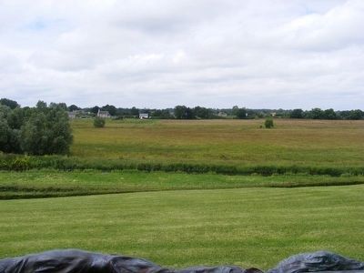
3. Merderet River
Photographed by Don Morfe, June 28, 2008
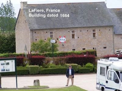
4. 1664 Building now a B&B
The building is at the foot of the parking lot of the Parachute Memorial.
Credits. This page was last revised on September 10, 2018. It was originally submitted on January 3, 2016, by Don Morfe of Baltimore, Maryland. This page has been viewed 481 times since then and 28 times this year. Photos: 1, 2, 3, 4. submitted on January 3, 2016, by Don Morfe of Baltimore, Maryland. • Andrew Ruppenstein was the editor who published this page.
