Port Allen in West Baton Rouge Parish, Louisiana — The American South (West South Central)
Poplar Grove Plantation
(side A)
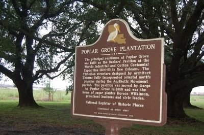
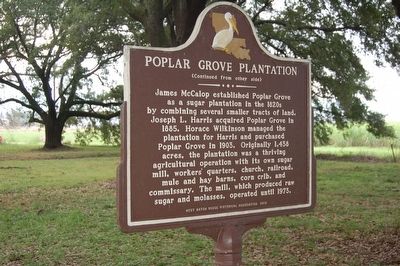
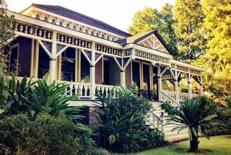
The principal residence at Poplar Grove was built as the Banker's Pavilion at the World's Industrial and Cotton Centennial Exposition 1884-85 in New Orleans. The Victorian structure designed by architect Thomas Sully incorporated oriental motifs popular during the Aesthetic Movement period. The pavilion was moved by barge to Poplar Grove in 1886 and was the home of sugar planter Horace Wilkinson, prominent business and civic leader.
(Continued on other side)
Erected 2012 by West Baton Rouge Historical Association.
Topics. This historical marker is listed in these topic lists: Agriculture • Industry & Commerce.
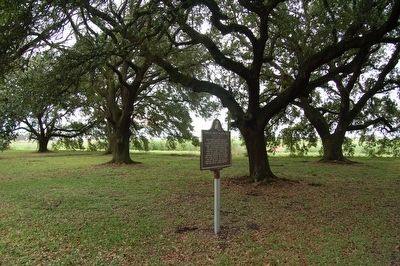
Location. 30° 29.601′ N, 91° 12.232′ W. Marker is in Port Allen, Louisiana, in West Baton Rouge Parish. Marker is on River Road (State Highway 986) one mile south of U.S. 190, on the right when traveling south. Touch for map. Marker is at or near this postal address: 3142 River Road, Port Allen LA 70767, United States of America. Touch for directions.
Other nearby markers. At least 8 other markers are within 2 miles of this marker, measured as the crow flies. Sunrise (approx. 1.1 miles away); James "Slim Harpo" Moore (approx. 1.6 miles away); Dr. Julia Brogdon Purnell (approx. 1.9 miles away); Pinckney Benton Stewart Pinchback (approx. 1.9 miles away); Southern University (approx. 2 miles away); Mississippi River (approx. 2 miles away); Scott's Bluff (approx. 2 miles away); Port Allen High School (1936-1978) / Port Allen Middle School (1979-Present) (approx. 2.1 miles away). Touch for a list and map of all markers in Port Allen.
Also see . . .
1. Poplar Grove Plantation. Plantation website entry (Submitted on January 10, 2016.)
2. Poplar Grove Plantation House. National Park Service website entry (Submitted on January 10, 2016.)
Credits. This page was last revised on September 1, 2023. It was originally submitted on January 8, 2016. This page has been viewed 509 times since then and 16 times this year. Photos: 1, 2, 3. submitted on January 8, 2016. 4. submitted on March 19, 2022, by Larry Gertner of New York, New York. • Bernard Fisher was the editor who published this page.


