Near Gum Spring in Louisa County, Virginia — The American South (Mid-Atlantic)
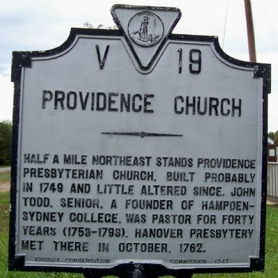
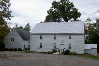
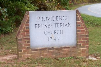
Providence Church
Erected 1947 by Virginia Conservation Commission. (Marker Number V-19.)
Topics and series. This historical marker is listed in these topic lists: Churches & Religion • Colonial Era. In addition, it is included in the Virginia Department of Historic Resources (DHR) series list. A significant historical month for this entry is October 1762.
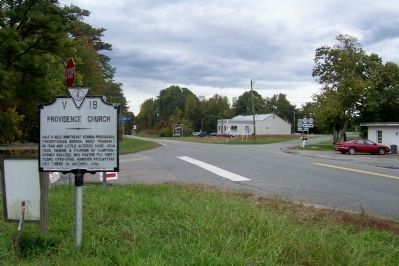
Location. 37° 46.867′ N, 77° 54.317′ W. Marker is near Gum Spring, Virginia, in Louisa County. Marker is on Broad Street (Virginia Route 250) 0.4 miles west of Virginia Route 522, on the right when traveling west. Touch for map. Marker is in this post office area: Gum Spring VA 23065, United States of America. Touch for directions.
Other nearby markers. At least 8 other markers are within 7 miles of this marker, measured as the crow flies. Shady Grove (Rosenwald) School (approx. 2.1 miles away); Byrd Presbyterian Church (approx. 5 miles away); Bolling Island (approx. 5.7 miles away); Dungeness (approx. 5.7 miles away); Bolling Hall (approx. 5.7 miles away); Virginia's Center of Population (approx. 5.8 miles away); Beaverdam Episcopal Church (approx. 6.2 miles away); The Lock-Keeper's House (approx. 6.2 miles away).
Credits. This page was last revised on June 16, 2016. It was originally submitted on July 16, 2008, by Kathy Walker of Stafford, Virginia. This page has been viewed 1,135 times since then and 22 times this year. Photos: 1, 2, 3, 4. submitted on April 9, 2012, by Forest McDermott of Masontown, Pennsylvania. • Christopher Busta-Peck was the editor who published this page.


