Leedsville Schoolhouse
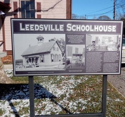
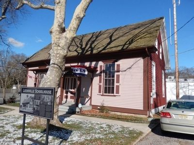
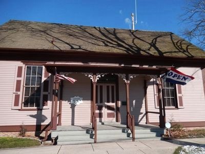
The surviving original building fabric of the Leedsville Schoolhouse sustains its architectural and historical integrity. On the exterior, the schoolhouse retains its original size, massing and symmetry, as well as its large windows and the centrally-located entrance. The original cupola and one end window, both seen in the historic photograph at far left, were removed and the entrance doors replaced. On the interior, the school retains its original single classroom (photo above) with vestibule configuration, as well as original finishes, including the wainscoting, plaster, blackboard, and trim (photo at left). The flooring and beaded-board ceiling were added when the interior was divided into two rooms, although that divider has since been removed.
The ungraded school served 65-70 students, aged 5-18, annually in a single classroom space from 1873- 1894. In 1895, the space was
this page online
In 1910 the Board of Education sold the Leedsville Schoolhouse to the Borough of Linwood. The building served as Town Hall and City Hall until 1965 when it was converted to a municipal library. In 1987 the building became the home of the Linwood Historical Society Museum with artifacts and displays on local history.
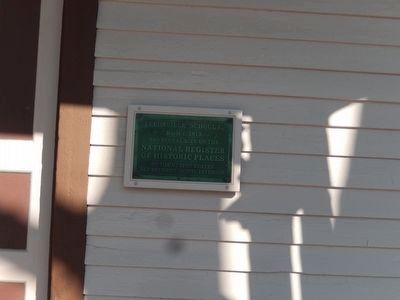
Listed on the New Jersey and National Registers of Historic Places in 1984.
Funded in part by the Garden State Historic Preservation Trust Fund.
Erected by Linwood Historical Society.
Topics. This historical marker is listed in this topic list: Education. A significant historical year for this entry is 1873.
Location. 39° 21.055′ N, 74° 34.04′ W. Marker is in Linwood, New Jersey, in Atlantic County. It is on West Poplar Avenue. Touch for map. Marker is at or near this postal address: 16 West Poplar Avenue, Linwood NJ 08221, United States of America. Touch for directions.
Regionally, this marker is in the
Other nearby markers. At least 8 other markers are within 3 miles of this marker, measured as the crow flies: The Linwood Historic District (about 700 feet away, measured in a direct line); Friends Meeting House and Burying Ground (approx. half a mile away); Thomas Morris House (approx. 0.7 miles away); Jeremiah Leeds Grave (approx. 1.2 miles away); Veterans Memorial (approx. 1.4 miles away); Zion United Methodist Church (approx. 1.6 miles away); Submarine Veterans Memorial (approx. 2.6 miles away); U.S. Navy Commandant Richard Somers’ Birthplace (approx. 2.7 miles away). Touch for a list and map of all markers in Linwood.
Credits. This page was last revised on June 16, 2016. It was originally submitted on January 31, 2016, by Don Morfe of Baltimore, Maryland. This page has been viewed 991 times since then and 47 times this year. Photos: 1, 2, 3, 4. submitted on January 31, 2016, by Don Morfe of Baltimore, Maryland. • Bill Pfingsten was the editor who published this page.
