Near Nelson in Clark County, Nevada — The American Mountains (Southwest)
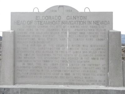
Eldorado Canyon
Head of Steamboat Navigation in Nevada
This portion of the Colorado River was navigable before the construction of Hoover Dam, allowing steamboats and barges to freight good 350 miles from the California Gulf to the mouth of Eldorado Canyon and upriver. The steamboat era peaked in the 1860s, but continued to the turn of the twentieth century.
In 1867, the US. (sic) Army established an outpost at Eldorado Canyon to secure the riverboat freight and protect miners in the canyon from Native Americans. The military abandoned the camp in 1869. In the 1870s, the mines flourished again, producing ore until World War II.
Erected by Nevada Historic Preservation Office. (Marker Number 6.)
Topics. This historical marker is listed in these topic lists: Industry & Commerce • Waterways & Vessels.
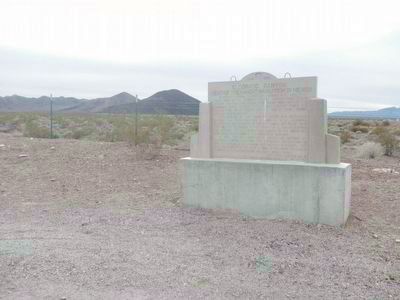
Location. 35° 49.662′ N, 114° 56.19′ W. Marker is near Nelson, Nevada, in Clark County. Marker is at the intersection of Nevada Route 165 and Veterans Memorial Highway (U.S. 95), on the right when traveling east on State Route 165. Touch for map. Marker is in this post office area: Searchlight NV 89046, United States of America. Touch for directions.
Other nearby markers. At least 8 other markers are within 11 miles of this marker, measured as the crow flies. A different marker also named Eldorado Canyon (a few steps from this marker); Women Airforce Service Pilots (approx. 9.6 miles away); Railroad Pass (approx. 10.1 miles away); Alunite (approx. 10.2 miles away); El Dorado Canyon (approx. 10.2 miles away); Queho's Cave (approx. 11.1 miles away); Techatticup Mine (approx. 11.1 miles away); a different marker also named El Dorado Canyon (approx. 11.1 miles away). Touch for a list and map of all markers in Nelson.
More about this marker. This marker has replaced the original Nevada Historical Marker located at the same place. Here have been some changes is the sentence structure.
Credits. This page was last revised on June 16, 2016. It was originally submitted on February 4, 2016, by Barry Swackhamer of Brentwood, California. This page has been viewed 557 times since then and 16 times this year. Photos: 1, 2. submitted on February 4, 2016, by Barry Swackhamer of Brentwood, California.

