Daviston in Tallapoosa County, Alabama — The American South (East South Central)
Daviston, Alabama
⎯⎯⎯
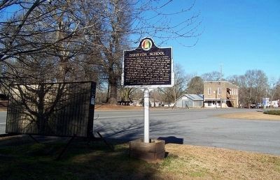
Daviston School
Photographed by David J Gaines, January 29, 2016
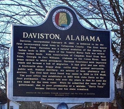
1. Daviston, Alabama (side 1)
The post office was established in 1853 with John Davis as the first postmaster. The story told over the years is that he used his own name for the town name. When he submitted the name to the government, due to poor penmanship or a mistake, "Davis Town" became Daviston and has since remained.
this page online
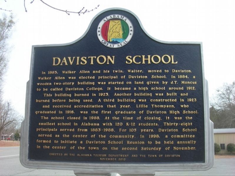
This building burned in 1923. Another building was built and burned before being used. A third building was constructed in 1923 and received accreditation that year. Lillie Thompson, who graduated in 1916, was the first graduate of Daviston High School.
The school closed in 1988. At the time of closing, it was the smallest school in Alabama with 120 K-12 students. Thirty-eight principals served from 1883-1988. For 105 years, Daviston School served as the center of the community. In 1998, a committee formed to initiate a Daviston School Reunion to be held annually in the center of the town on the second Saturday of November.
Erected 2010 by Alabama Tourism Department and the Town of Daviston.
Topics and series. This historical marker is listed in these topic lists: Education • Settlements & Settlers. In addition, it is included in the Alabama Tourism Department series list.
Location. 33° 3.161′ N, 85° 38.457′ W.
Photographed by Jimmy Emerson, 2013
2. Daviston, Alabama / Daviston School Marker

Regionally, this marker is in East Alabama. It is also in the American South and specifically in the Deep South. Globally, it is in North America, a Gulf of Mexico state, the Western Hemisphere, the Western World, and the Anglosphere. Historically, it finds itself in what was once New Spain, the original Cherokee Nation, the territory of the Mississippian Culture, one of the Confederate States of America, and the Antebellum South.
Other nearby markers. At least 8 other markers are within 8 miles of this marker, measured as the crow flies: Town of Wadley (approx. 6½ miles away); Louina (approx. 6.6 miles away); Horseshoe Bend Campaign Combatants (approx. 7.3 miles away); A Bloody Contest (approx. 7.4 miles away); Horseshoe Bend National Military Park (approx. 7.4 miles away); Major Lemuel P. Montgomery (approx. 7.6 miles away); Jackson Trace (approx. 7.6 miles away); Gun Hill
Photographed by David J Gaines, January 29, 2016
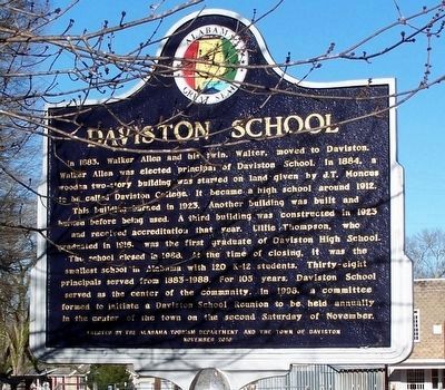
3. Daviston School Marker (side 2)
Another marker is no longer nearby. Tecumseh and the Prophets (was approx. 7.3 miles away but has been confirmed missing).
Photographed by David J Gaines, January 29, 2016
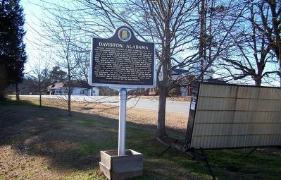
4. Daviston, Alabama Marker
Photographed by David J Gaines, January 29, 2016
5. Daviston School Marker
Credits. This page was last revised on May 17, 2026. It was originally submitted on February 7, 2016, by David J Gaines of Pinson, Alabama. This page has been viewed 1,432 times since then and 85 times this year. Photos: 1. submitted on February 7, 2016, by David J Gaines of Pinson, Alabama. 2. submitted on May 16, 2026, by Jimmy Emerson of Dalton, Georgia. 3, 4, 5. submitted on February 7, 2016, by David J Gaines of Pinson, Alabama. • Bernard Fisher was the editor who published this page.
