Near Seneca Rocks in Pendleton County, West Virginia — The American South (Appalachia)
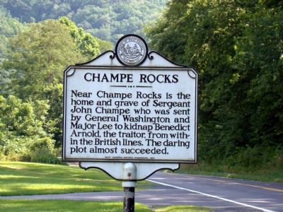
Champe Rocks
Near Champe Rocks is the home and grave of Sergeant John Champe who was sent by General Washington and Major Lee to kidnap Benedict Arnold, the traitor, from within the British lines. The daring plot almost succeeded.
Erected 1963 by West Virginia Historic Commission.
Topics and series. This historical marker is listed in this topic list: War, US Revolutionary. In addition, it is included in the Former U.S. Presidents: #01 George Washington, and the West Virginia Archives and History series lists.
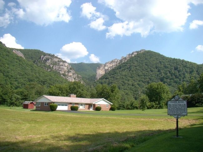
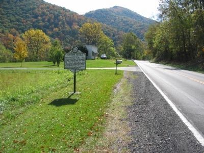
Location. 38° 53.917′ N, 79° 18.95′ W. Marker is near Seneca Rocks, West Virginia, in Pendleton County. Marker is on West Virginia Route 55 near Lower North Fork Road (County Highway 28/1), on the right when traveling east. Marker is in the Spruce Knob / Seneca Rocks National Recreation Area. Touch for map. Marker is in this post office area: Seneca Rocks WV 26884, United States of America. Touch for directions.
Other nearby markers. At least 8 other markers are within 6 miles of this marker, measured as the crow flies. Camp North Fork (approx. 3.1 miles away); St. George’s Church (approx. 3.4 miles away); A Melting Pot House (approx. 5.3 miles away); Sites Homestead (approx. 5.3 miles away); Eagle Rocks (approx. 5.3 miles away); An 1800’s Garden! (approx. 5.3 miles away); 10th Mountain Division (approx. 5½ miles away); More Than One Way Up (approx. 5½ miles away). Touch for a list and map of all markers in Seneca Rocks.
Related marker. Click here for another marker that is related to this marker.
Also see . . .
1. Champe Rocks. Wikipedia entry (Submitted on January 27, 2022, by Larry Gertner of New York, New York.)
2. John Champe, a Revolutionary War Double Agent Who Tries to Capture Benedict Arnold. History of Loudoun County VA website entry:
Essay by Eugene Scheel. “[Washington’s] plan called for a soldier who could ride stealthily through the many American pickets and board a boat that would cross the Hudson. In New York, the American would present himself as a deserter and gain Arnold's confidence. With the aid of an accomplice, the American would kidnap Arnold and hustle him aboard a waiting boat.” (Submitted on July 17, 2008.)
Credits. This page was last revised on January 27, 2022. It was originally submitted on July 17, 2008, by J. J. Prats of Powell, Ohio. This page has been viewed 1,809 times since then and 37 times this year. Photos: 1, 2. submitted on July 17, 2008, by J. J. Prats of Powell, Ohio. 3. submitted on October 12, 2009, by Craig Swain of Leesburg, Virginia.


