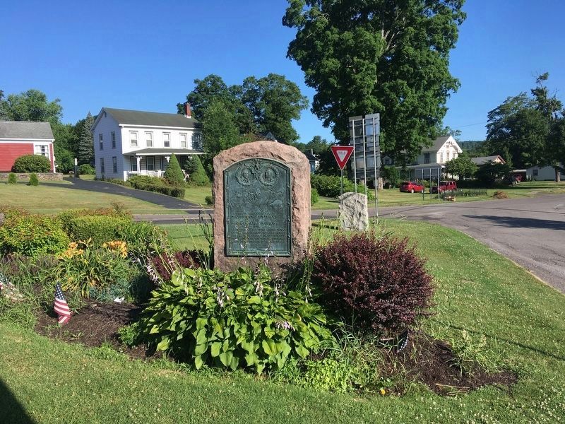
Afton in Chenango County, New York — The American Northeast (Mid-Atlantic)
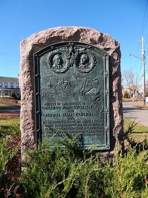
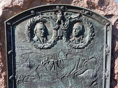
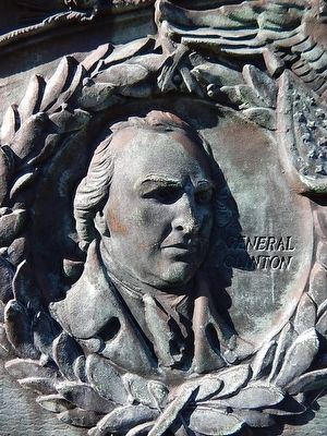
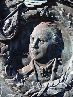
Routes of the Armies of General John Sullivan and General James Clinton
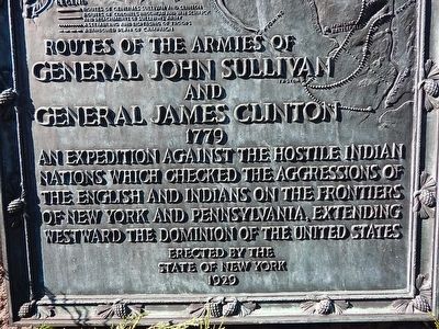
Inscription.
Routes of the Armies of
General John Sullivan
and General
James Clinton
1779
An expedition against the hostile Indian nations which checked the aggressions of the English and Indians on the frontiers of New York and Pennsylvania, extending westward the dominion of the United States.
Topics and series. This historical marker is listed in these topic lists: Native Americans • War, US Revolutionary. In addition, it is included in the The Sullivan-Clinton Expedition Against the Iroquois Indians series list. A significant historical year for this entry is 1779.
Location. 42° 13.736′ N, 75° 31.529′ W. Marker is in Afton, New York, in Chenango County. Marker is on Main Street. Touch for map. Marker is in this post office area: Afton NY 13730, United States of America. Touch for directions.
Other nearby markers. At least 8 other markers are within 5 miles of this marker, measured as the crow flies. About Two Miles Down The Susquehanna River (a few steps from this marker); Early Cemetery (approx. 0.4 miles away); Mormon House Site (approx. half a mile away); Cunahunta (approx. 1.8 miles away); Unadilla Region (approx. 1.9 miles away); First Presbyterian Church (approx. 5 miles away); Bainbridge, New York (approx. 5 miles away); Bainbridge New York Civil War Memorial (approx. 5 miles away). Touch for a list and map of all markers in Afton.
More about this marker. The About Two Miles Down The Susquehanna River marker is mounted on the opposite side of this 1779 Sullivan Expedition monument.
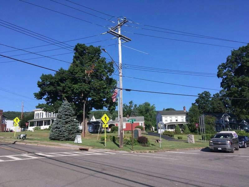
Photographed By Howard C. Ohlhous, July 10, 2022
6. Routes of the Armies of General John Sullivan and General James Clinton Marker
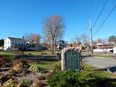
The monument is within a small triangular park-like setting at the main intersection in the village. The park is bounded by Main Street on one side, and Caswell Street on the other two sides.
Credits. This page was last revised on July 14, 2022. It was originally submitted on March 12, 2016, by Scott J. Payne of Deposit, New York. This page has been viewed 882 times since then and 26 times this year. Photos: 1, 2, 3, 4. submitted on March 12, 2016, by Scott J. Payne of Deposit, New York. 5, 6. submitted on July 12, 2022, by Howard C. Ohlhous of Duanesburg, New York. 7, 8. submitted on March 12, 2016, by Scott J. Payne of Deposit, New York. • Bill Pfingsten was the editor who published this page.
