Marker Logo HMdb.org THE HISTORICAL
MARKER DATABASE
“Bite-Size Bits of Local, National, and Global History”
Upper Sandusky in Wyandot County, Ohio — The American Midwest (Great Lakes)
 

The Lincoln Highway

— Ohio Historical Marker —


The Lincoln Highway Marker image. Click for full size.
Photographed By Dale K. Benington, April 16, 2016
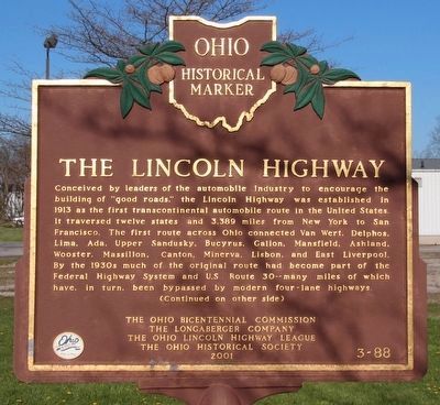
1. The Lincoln Highway Marker
Side A of Marker, facing the West.
Inscription.

Conceived by leaders of the automobile industry to encourage the building of "good roads," the Lincoln Highway was established in 1913 as the first transcontinental automobile route in the United States. It traversed twelve states and 3,389 miles from New York to San Francisco. The first route across Ohio connected Van Wert, Delphos, Lima, Ada, Upper Sandusky, Bucyrus, Galion, Mansfield, Ashland, Wooster, Massillon, Canton, Minerva, Lisbon, and East Liverpool. By the 1930s much of the original route had become part of the Federal Highway System and U.S. Route 30--many miles of which have, in turn, been bypassed by modern four-lane highways.

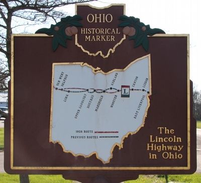
Map on the Marker Reverse
 
Erected 2001 by Ohio Bicentennial Commission, The Longaberger Company, The Ohio Lincoln Highway League, and The Ohio Historical Society. (Marker Number 3-88.)
 
Topics and series. This historical marker is listed in these topic lists: Industry & CommerceRoads & Vehicles. In addition, it is included in the Lincoln Highway, and the Ohio Historical Society / The Ohio History Connection series lists.
 
Location. 40° 49.661′ N, 83° 16.04′ W. Marker is in Upper Sandusky, Ohio, in Wyandot County
Paid Advertisement
Click on the ad for more information.
Please report objectionable advertising to the Editor.
Click or scan to see
this page online
. Marker is on East Wyandot Avenue near Old Lincoln Highway (County Route 200). This marker is located along the route of the former Lincoln Highway, and along the old US 30, just east of the Sandusky River. Touch for map. Marker is at or near this postal address: 965 East Wyandot Avenue, Upper Sandusky OH 43351, United States of America. Touch for directions.
 
Other nearby markers. At least 8 other markers are within walking distance of this marker. Upper Sandusky (approx. 0.2 miles away); Harrison Smith Park Veterans Memorial (approx. 0.3 miles away); Robbins Post No. 91 G.A.R. Grove (approx. 0.3 miles away); Col. William Crawford (approx. 0.4 miles away); Wyandot County War of 1812 Veterans Memorial Flagpole (approx. 0.4 miles away); Co. B 2nd O.V.I. Veterans Memorial (approx. 0.4 miles away); Wyandot County Veterans Memorial (approx. 0.4 miles away); Wyandot Indian Council House (approx. 0.4 miles away). Touch for a list and map of all markers in Upper Sandusky.
 
The Lincoln Highway Marker image. Click for full size.
Photographed By Dale K. Benington, April 16, 2016
2. The Lincoln Highway Marker
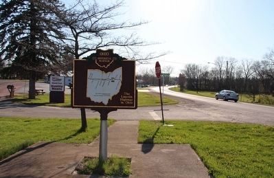
Side B of Marker, facing the East.
The Lincoln Highway Marker image. Click for full size.
Photographed By Dale K. Benington, April 16, 2016
3. The Lincoln Highway Marker
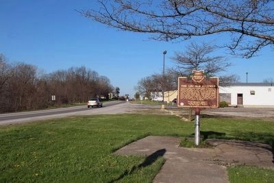
View of marker, looking east along East Wyandot Avenue (Old US 30), along the route of the former Lincoln Highway.
The Lincoln Highway Marker image. Click for full size.
Photographed By Dale K. Benington, April 16, 2016
4. The Lincoln Highway Marker
View of marker, looking west along East Wyandot Avenue (Old US 30), along the route of the former (old) Lincoln Highway.
The Lincoln Highway Marker image. Click for full size.
Photographed By Dale K. Benington, April 16, 2016
5. The Lincoln Highway Marker
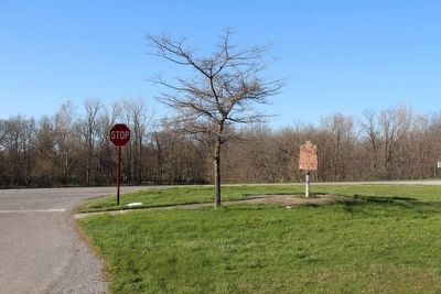
View of the marker looking north along the Old Lincoln Highway (County Route 200), towards its intersection with East Wyandot Avenue.
The Lincoln Highway Marker image. Click for full size.
Photographed By Dale K. Benington, May 4, 2016
6. The Lincoln Highway Marker
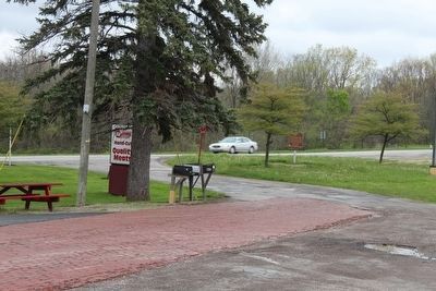
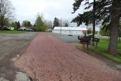
A distant view of the marker, at the intersection of East Wyandot Avenue and the Old Lincoln Highway, and the brick paved roadway in the foreground is a remnant of the Old Lincoln Highway.
The Old Lincoln Highway image. Click for full size.
Photographed By Dale K. Benington, May 4, 2016
7. The Old Lincoln Highway
View of the old brick paved roadway that is a remnant of the Old Lincoln Highway.
A Lincoln Highway Marker image. Click for full size.
Photographed By Dale K. Benington, May 4, 2016
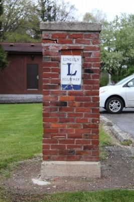
8. A Lincoln Highway Marker
View of a nearby Lincoln Highway Marker that is situated along East Wyandot Avenue, on the eastern edge of the downtown business district.
A Lincoln Highway Marker image. Click for full size.
Photographed By Dale K. Benington, May 4, 2016
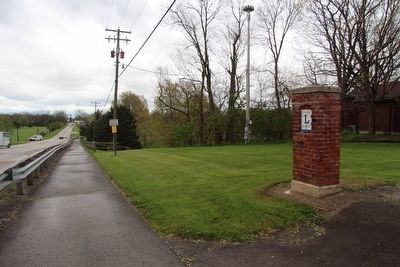
9. A Lincoln Highway Marker
View of the nearby Lincoln Highway marker, looking east along East Wyandot Avenue, in the direction of the featured marker.
A Lincoln Highway Marker image. Click for full size.
Photographed By Dale K. Benington, May 4, 2016
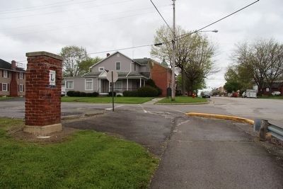
10. A Lincoln Highway Marker
View of the nearby Lincoln Highway marker, looking west along East Wyandot Avenue, in the direction of the downtown business district.
 
 
Credits. This page was last revised on March 9, 2022. It was originally submitted on April 13, 2016, by Dale K. Benington of Toledo, Ohio. This page has been viewed 655 times since then and 48 times this year. Photos:   1, 2, 3, 4, 5. submitted on April 17, 2016, by Dale K. Benington of Toledo, Ohio.   6, 7, 8, 9, 10. submitted on May 9, 2016, by Dale K. Benington of Toledo, Ohio. • Bill Pfingsten was the editor who published this page.
Share this page.  
Share on Tumblr
m=93866

CeraNet Cloud Computing sponsors the Historical Marker Database.
This website earns income from purchases you make after using our links to Amazon.com. We appreciate your support.
Paid Advertisement
May. 9, 2024