Berliner Innenstadt in Mitte, Berlin, Germany — Northeast German Plain (The European Plain)
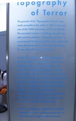
Topography of Terror
The establishment of the Topography of Terror Foundation was followed by the decision to build a visitors’ and documentation centre.
In 1993, the architectural competition was won by the design of the Swiss architect Peter Zumthor. By July 1999, however, no more than the basement and three stairwell towers had been completed. After various delays due to financial and technical problems, construction was discontinued.
In May 2004, the Federal government and Berlin Senate agreed on stopping the Zumthor project and on a new public invitation to tender.
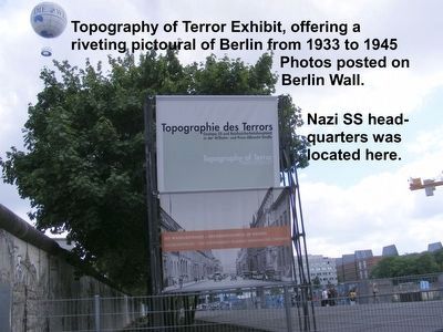
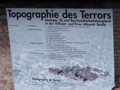
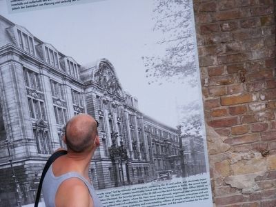
Until the new building is completed, the exhibition “Topography of Terror” will be presented open-air in the excavations along Niederkirchnerstrasse.
Topics. This memorial is listed in this topic list: War, World II.
Location. 52° 30.426′ N, 13° 23.026′ E. Marker is in Berliner Innenstadt, Berlin, in Mitte. Memorial is on Niederkirchnerstraße. Touch for map. Marker is in this post office area: Berliner Innenstadt BE 10117, Germany. Touch for directions.
Other nearby markers. At least 8 other markers are within walking distance of this marker. Remains of the Berlin Wall (within shouting distance of this marker); Baudenkmal Berliner Mauer (within shouting distance of this marker); a different marker also named Baudenkmal Berliner Mauer (about 90 meters away, measured in a direct line); Checkpoint Charlie Site (approx. 0.4 kilometers away); The Legend of Hitler’s Bunker (approx. 0.6 kilometers away); Pariser Platz (approx. 1.1 kilometers away); Soviet War Memorial (approx. 1.3 kilometers away); Max Planck (approx. 1.3 kilometers away). Touch for a list and map of all markers in Berliner Innenstadt.
Credits. This page was last revised on January 28, 2022. It was originally submitted on April 23, 2016, by Don Morfe of Baltimore, Maryland. This page has been viewed 321 times since then and 13 times this year. Photos: 1, 2, 3, 4. submitted on April 23, 2016, by Don Morfe of Baltimore, Maryland. • Bill Pfingsten was the editor who published this page.


