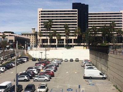
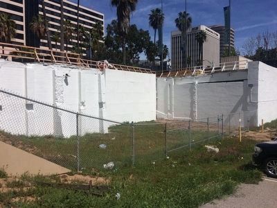
Willmore in Long Beach in Los Angeles County, California — The American West (Pacific Coastal)
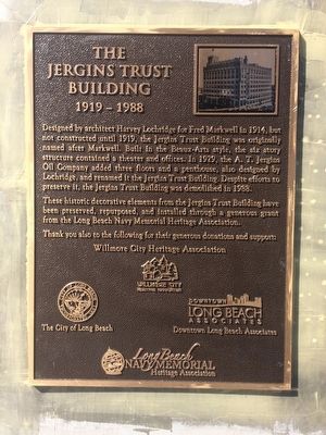
The Jergins Trust Building
1919 - 1988
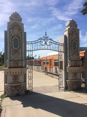
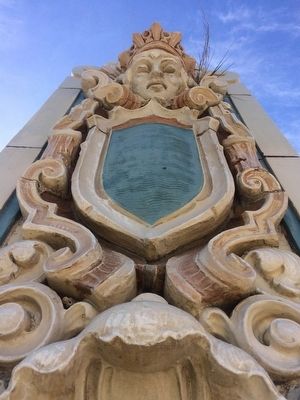
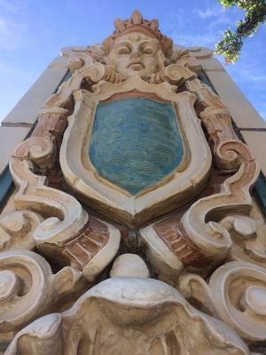
These historic decorative elements from the Jergins Trust Building have been preserved, repurposed, and installed through a generous grant from the Long Beach Navy Memorial Heritage Association.
Thank you also to the following for their generous donations and support:
Willmore City Heritage Association
The City of Long Beach
Downtown Long Beach Associates
Long Beach Navy Memorial Heritage Association
Erected 2012 by Willmore City Heritage Association, The City of Long Beach, Downtown Long Beach Associates, Long Beach Navy Memorial Heritage Association.
Topics. This historical marker is listed in these topic lists: Architecture • Settlements & Settlers.
Location. 33° 46.536′ N, 118° 12.074′ W. Marker is in Long Beach, California, in Los Angeles County. It is in Willmore. Marker is on West 7th Street west of Main Avenue, on the right. Touch for map. Marker is in this post office area: Long Beach CA 90802, United States of America. Touch for directions.
Other nearby markers. At least 8 other markers are within walking distance of this marker. Bembridge House (approx. ¼ mile away); Charles Windham House (approx. 0.4 miles away); The Californian (approx. half a mile away); The Willmore (approx. half a mile away); First Congregational Church of Long Beach (approx. half a mile away); The Kress Building (approx. half a mile away); The Walker Building (approx. 0.6 miles away); Farmers & Merchants Bank Tower (approx. 0.6 miles away). Touch for a list and map of all markers in Long Beach.
Also see . . .
1. Jergins Subway. The Jergins pedestrian subway in Long Beach was built in 1927, after a survey determined that over 2000 people an hour were crossing Ocean Blvd at Pine Avenue--4000 on weekends, since tourists and merrymakers were crossing Ocean to visit the beach and the Pike. (Submitted on March 22, 2016, by Michael Kindig of Elk Grove, California.)
2. Jergins Subway. 12 photos taken inside the tunnel (Submitted on March 22, 2016, by Michael Kindig of Elk Grove, California.)
Credits. This page was last revised on January 30, 2023. It was originally submitted on March 22, 2016, by Michael Kindig of Elk Grove, California. This page has been viewed 1,653 times since then and 164 times this year. Last updated on April 29, 2016, by James King of San Miguel, California. Photos: 1, 2, 3, 4, 5, 6. submitted on March 22, 2016, by Michael Kindig of Elk Grove, California. • Kevin W. was the editor who published this page.
