Reno in Washoe County, Nevada — The American Mountains (Southwest)
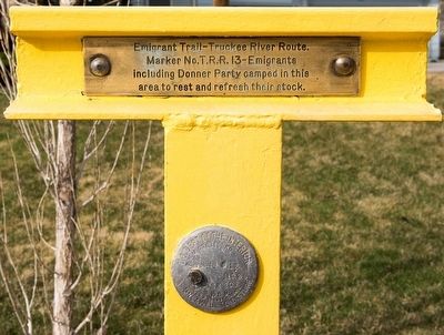
Emigrant Trail - Truckee River Route
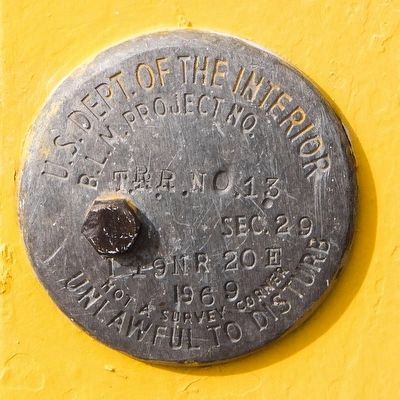
Erected 1969 by United States Bureau of Land Management. (Marker Number T.R.R. 13.)
Topics and series. This historical marker is listed in this topic list: Settlements & Settlers. In addition, it is included in the California Trail, and the Truckee Trail series lists. A significant historical year for this entry is 1846.
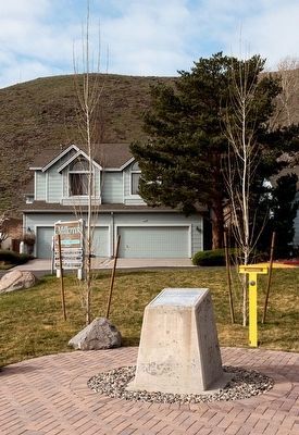
Location. 39° 28.559′ N, 119° 45.248′ W. Marker is in Reno, Nevada, in Washoe County. Marker is at the intersection of Rio Poco Road and Creekside Circle, on the right when traveling south on Rio Poco Road. Touch for map. Marker is in this post office area: Reno NV 89502, United States of America. Touch for directions.
Other nearby markers. At least 8 other markers are within 4 miles of this marker, measured as the crow flies. Emigrant-Donner Camp (here, next to this marker); Emigrant Trail--Truckee River Route (approx. 2.1 miles away); Junction House (approx. 2.4 miles away); Huffaker's (approx. 2˝ miles away); Veterans of Foreign Wars Historical Building (approx. 2.6 miles away); Truckee Trail - Truckee Meadows Ford (approx. 3 miles away); Glendale School (approx. 3.2 miles away); Site of Reno Air Mail Field (approx. 3˝ miles away). Touch for a list and map of all markers in Reno.
Also see . . . California National Historic Trail. (Submitted on May 7, 2016, by William Fischer, Jr. of Scranton, Pennsylvania.)
Credits. This page was last revised on June 16, 2016. It was originally submitted on May 4, 2016, by Alvis Hendley of San Francisco, California. This page has been viewed 506 times since then and 24 times this year. Photos: 1, 2, 3. submitted on May 4, 2016, by Alvis Hendley of San Francisco, California. • Syd Whittle was the editor who published this page.


