
Trickham in Coleman County, Texas — The American South (West South Central)
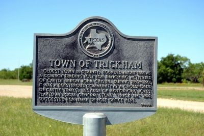
Town of Trickham
Photographed by Duane Hall, May 3, 2016
1. Town of Trickham Marker
Erected 1969 by State Historical Survey Committee. (Marker Number 5557.)
Topics. This historical marker is listed in this topic list: Settlements & Settlers. A significant historical year for this entry is 1855.
Location. 31° 35.272′ N, 99° 13.863′ W. Marker is in Trickham, Texas, in Coleman County. It is at the intersection of Farm to Market Road 1176 and County Road 218, on the right when traveling south on Road 1176. Touch for map. Marker is in this post office area: Santa Anna TX 76878, United States of America. Touch for directions.

Regionally, this marker is in Big Country. Globally, it is in North America, a Gulf of Mexico state, the Western Hemisphere, the Western World, and the Anglosphere. Historically, it finds itself in what was once New Spain, the Comanchería, the Republic
this page online
Other nearby markers. At least 8 other markers are within 12 miles of this marker, measured as the crow flies: Mr. and Mrs. W.P. Williams (here, next to this marker); Trickham, Texas (within shouting distance of this marker); Unknown Pioneers (about 300 feet away, measured in a direct line); Route of Old Military Road (approx. 10 miles away); Bangs Public Schools (approx. 10.8 miles away); John R. Banister (approx. 11.2 miles away); Emma Daugherty Banister (approx. 11.2 miles away); Santa Anna Cemetery (approx. 11.3 miles away). Touch for a list and map of all markers in Trickham.
Also see . . . Trickham, TX. From the Texas State Historical Association’s Handbook of Texas Online”. (Submitted on May 11, 2016.)
Photographed by Duane Hall, May 3, 2016
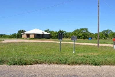
2. Mr. and Mrs. W.P. Williams and Town of Trickham Markers
Photographed by Duane Hall, May 3, 2016
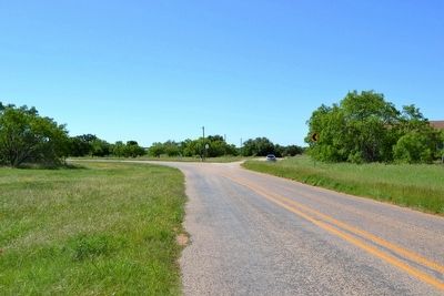
3. View to South on Farm-to-Market Road 1176
Photographed by Duane Hall, May 3, 2016
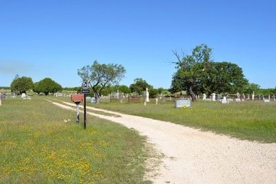
4. Trickham Cemetery
Credits. This page was last revised on November 2, 2020. It was originally submitted on May 11, 2016, by Duane Hall of Abilene, Texas. This page has been viewed 860 times since then and 72 times this year. Photos: 1, 2, 3, 4. submitted on May 11, 2016, by Duane Hall of Abilene, Texas.
