Near East Side in Columbus in Franklin County, Ohio — The American Midwest (Great Lakes)
Mount Vernon Community School
Pilgrim School

Photographed by Rev. Ronald Irick, May 13, 2016
1. Mount Vernon Community School Marker
Side A
Side A
Until the 1970s, Pilgrim Elementary school was different from today. Pilgrim had a smaller playground with a brick wall around it. The gym was used only for physical education classes and most students went home for lunch, while others ate lunch in the classrooms. Fifth grade students had the responsibility of collecting milk money from the kindergarten students. During lunch, the fifth graders would use a milk machine to deliver the milk to the kindergarten students.
Side B
Pilgrim Elementary School, now East Pilgrim, was the community school for the Mount Vernon area and was a focal point for community activities. The Parent Teacher Association was active with members of the community and the school was used as a meeting place. The 1977 Ohio Supreme Court case of Penick v. The Columbus School Board ended the segregation of schools in Columbus. Students from Pilgrim were bussed to other schools in the district.
Erected 2007 by 2006-2007 East Pilgrim 3rd Grade Class The Columbus Foundation The Ohio Historical Society. (Marker Number 98- 25.)
Topics and series. This historical marker is listed in these
this page online
Location. 39° 58.595′ N, 82° 57.621′ W. Marker is in Columbus, Ohio, in Franklin County. It is in the Near East Side. It is at the intersection of Emerald Avenue and Taylor Avenue, on the right when traveling east on Emerald Avenue. Marker is at the north side of the site, not at 440 Taylor, as some sources state. Touch for map. Marker is at or near this postal address: 1529 Emerald Ave, Columbus OH 43203, United States of America. Touch for directions.

Regionally, this marker is in Ohio’s Scioto Valley. It is also in the American Midwest and in the Corn Belt. Globally, it is in North America, the Western Hemisphere, the Western World, and the Anglosphere. Historically, it finds itself in what was once the Haudenosaunee (Iroquois) Confederacy, the territory of the Mississippian Culture, and the Northwest Territory.
Other nearby markers. At least 8 other markers are within walking distance of this marker: Formerly Maryland Park
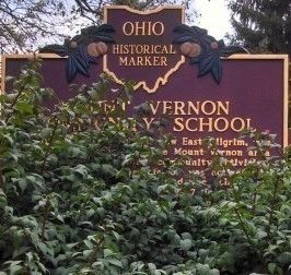
Photographed by Rev. Ronald Irick, May 13, 2016
2. Mount Vernon Community School Marker
Without pruning equipment, I could not get a clear shot of Side B
More about this marker. The Site is heavily overgrown.
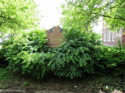
Photographed by Rev. Ronald Irick, May 13, 2016
3. Mount Vernon Community School Marker
Marker can barely be seen at a distance. Heavy overgrowth.
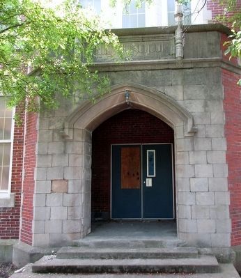
Photographed by Rev. Ronald Irick, May 13, 2016
4. Mount Vernon Community School Building
North façade, Emerald Avenue entrance, old Pilgrim School. The site of the marker.

Photographed by Craig Doda, April 11, 2026
5. Mount Vernon Community School Marker

Photographed by Craig Doda, April 11, 2026
6. Mount Vernon Community School Marker
Credits. This page was last revised on April 20, 2026. It was originally submitted on May 14, 2016, by Rev. Ronald Irick of West Liberty, Ohio. This page has been viewed 1,294 times since then and 192 times this year. Photos: 1, 2, 3, 4. submitted on May 14, 2016, by Rev. Ronald Irick of West Liberty, Ohio. 5, 6. submitted on April 16, 2026, by Craig Doda of Napoleon, Ohio. • Bill Pfingsten was the editor who published this page.
