Pollock Pines in El Dorado County, California — The American West (Pacific Coastal)
Logging in El Dorado County
Photographed by Syd Whittle, May 14, 2016
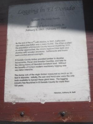
1. Logging in El Dorado County Marker
El Dorado County timber provided lumber to develop Sacramento, Placer and Amador Counties, and later to the mining towns of Nevada’s Comstock Lode. Without the benefits of today’s modern machinery, logging was very labor intensive.
The stump cuts of the virgin timber measured as much as 23 feet in diameter. Initially, the axe and hand-saw were the only tools available to harvest these giant trees. The logging industry has flourished in El Dorado County for more than 150 years.
Historian: Anthony M. Belli
Erected by Sponsored by the Sonke Family.
Topics. This historical marker is listed in this topic list: Horticulture & Forestry. A significant historical year for this entry is 1847.
Location. 38° 45.767′ N, 120° 34.68′ W. Marker is in Pollock Pines, California, in El Dorado County. It is at the intersection
this page online

Regionally, this marker is in California’s Sacramento Metro and in the Sierra Nevada. It is also in the American Mountain West. Globally, it is in North America, on the Ring of Fire, on the Pacific Rim, in the Western Hemisphere, in the Western World, and in the Anglosphere. Historically, it finds itself in what was once New Spain and also Mexico’s Alta California.
Other nearby markers. At least 8 other markers are within 2 miles of this marker, measured as the crow flies: The California Gold Rush (here, next to this marker); The Mormon Emigrant Trail (here, next to this marker); Bullion Bend Robbery (here, next to this marker); The Miwok and Maidu Peoples (here, next to this marker); Johnson Cutoff - Took the Hangtown Road (within shouting distance of this marker);
Photographed by Syd Whittle, May 14, 2016
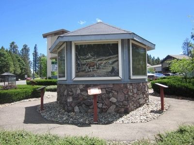
2. Logging in El Dorado County Marker and Painting
Another marker is no longer nearby. The Pony Express (was here, next to this marker but has been confirmed missing).
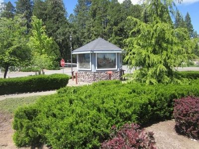
More about this marker. This marker is placed at a six-sided kiosk having six markers and paintings depicting the events described on the markers. Two of the markers are missing.
Photographed by Syd Whittle
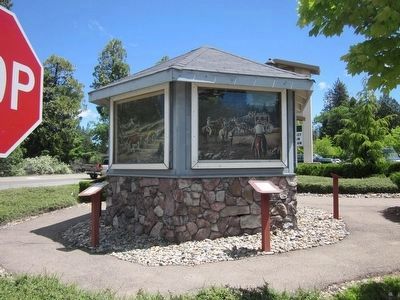
3. Bullion Bend Robbery Marker, Painting and Kiosk
This marker is seen on the left. The nearby marker "Bullion Bend Robbery" is on the right.
Photographed by Syd Whittle
4. The Kiosk
Credits. This page was last revised on June 16, 2016. It was originally submitted on May 14, 2016, by Syd Whittle of Mesa, Arizona. This page has been viewed 792 times since then and 28 times this year. Photos: 1, 2, 3, 4. submitted on May 14, 2016, by Syd Whittle of Mesa, Arizona.
