St. Leonard in Calvert County, Maryland — The American Northeast (Mid-Atlantic)
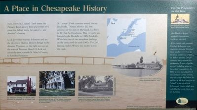
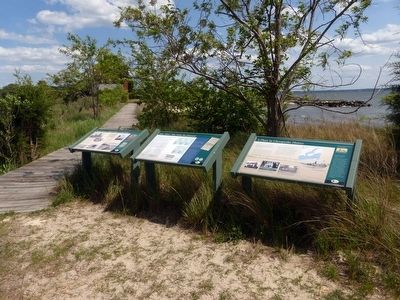
A Place in Chesapeake History
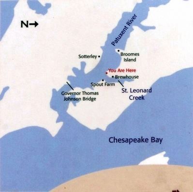
Look downriver towards Solomons and see the Governor Thomas Johnson Bridge in the distance. Upstream on the right you can see the town of Broomes Island. Or look out across the river, towards St. Mary’s County to Sotterly Plantation.
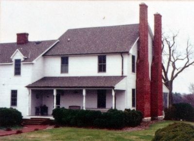
St. Leonard Creek contains several historical landmarks, Thomas Johnson III, first governor of Maryland, was born in 1733 at the Brewhouse. This property was bought by the Macklls in 1840s. Mackall’s Wharf was one of the two steamboat landings on the creek until the early 1900s. The 2nd landing, Sollers Wharf was located across the creek.
Capital Punishment on the Point
John Dandy — Rogue, gunsmith, executioner, murderer, executed.
A blacksmith and gunsmith, Dandy’s skills were more important to early Maryland than was his reputation for violence. Convicted of killing an Indian servant, Dandy’s sentence was commuted to performing 7 years of public service, including acting as the colony’s executioner. In 1657 he was found guilty of murdering a second servant, after the corpse bled when he touched it. He was hung on a “Island” as the mouth of St. Leonard Creek, which was probably the point where you are standing.
Topics. This historical marker is listed in these topic lists: Colonial Era • War of 1812.
Location. 38° 23.381′ N, 76° 30.444′ W. Marker is in St. Leonard, Maryland, in Calvert County. On Peterson's Point. Touch for map. Marker is in this post office area: Saint Leonard MD 20685, United States of America. Touch for directions.
Other nearby markers. At least 8 other markers are within walking distance of this marker. June 1814 — War Visits the Patuxent (here, next to this marker); Idyllic Retreat — Beach House on the Point (here, next to this marker); Smith’s St. Leonard Site (approx. 0.3 miles away); Land Battle Evidence (approx. 0.3 miles away); Valor at St. Leonard Creek (approx. 0.3 miles away); John Stuart Skinner (approx. 0.3 miles away); “We Must Have Done Them Considerable Damage” (approx. 0.3 miles away); “The Commodore Can Beat Any…Barges…Sent Against Him” (approx. 0.3 miles away). Touch for a list and map of all markers in St. Leonard.
Credits. This page was last revised on June 16, 2016. It was originally submitted on May 18, 2016, by Allen C. Browne of Silver Spring, Maryland. This page has been viewed 515 times since then and 35 times this year. Photos: 1, 2, 3, 4. submitted on May 18, 2016, by Allen C. Browne of Silver Spring, Maryland. 5, 6. submitted on May 19, 2016, by Allen C. Browne of Silver Spring, Maryland. • Bill Pfingsten was the editor who published this page.
