Durham in Lower Connecticut River Valley Region, Connecticut — The American Northeast (New England)
Durham
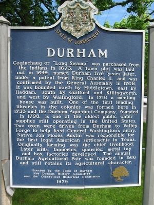
Photographed by Michael Herrick, May 18, 2016
1. Durham Marker
the Durham History Committee
and the Connecticut Historical Commission
1979
Erected 1979 by Town of Durham,
this page online
Topics and series. This historical marker is listed in these topic lists: Colonial Era • Settlements & Settlers. In addition, it is included in the Former U.S. Presidents: #01 George Washington series list.
Location. 41° 28.268′ N, 72° 40.822′ W. Marker is in Durham in Lower Connecticut River Valley Region, Connecticut. It is at the intersection of Main Street (Connecticut Route 17) and Fowler Road, on the left when traveling north on Main Street. Located on the Durham Town Green. Touch for map. Marker is in this post office area: Durham CT 06422, United States of America. Touch for directions.

Regionally, this marker is in the Connecticut River Valley and on the Connecticut Shoreline. It is also in the American Northeast, in New England, and on the Eastern Seaboard. Globally, it is in the North Atlantic Region, North America, the Western Hemisphere, the Western World, and the Anglosphere. Historically, it finds itself in what was once Middlesex County and also one of the original Thirteen Colonies.
Other nearby markers. At
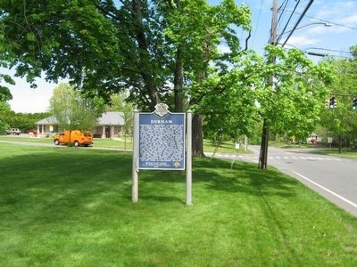
Photographed by Michael Herrick, May 18, 2016
2. Durham Marker
Also see . . .
1. Town of Durham, Connecticut. (Submitted on May 18, 2016, by Michael Herrick of Southbury, Connecticut.)
2. Durham, Connecticut on Wikipedia. (Submitted on May 18, 2016, by Michael Herrick of Southbury, Connecticut.)
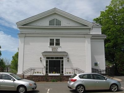
Photographed by Michael Herrick, May 18, 2016
3. Durham Town Hall
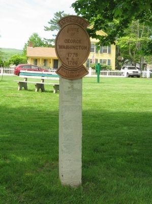
Photographed by Michael Herrick, May 18, 2016
4. Marker on the Durham Green
Route
of
George
Washington
1775
&
1789
Wallingford
Durham
Credits. This page was last revised on May 19, 2026. It was originally submitted on May 18, 2016, by Michael Herrick of Southbury, Connecticut. This page has been viewed 895 times since then and 57 times this year. Photos: 1, 2, 3, 4. submitted on May 18, 2016, by Michael Herrick of Southbury, Connecticut.
