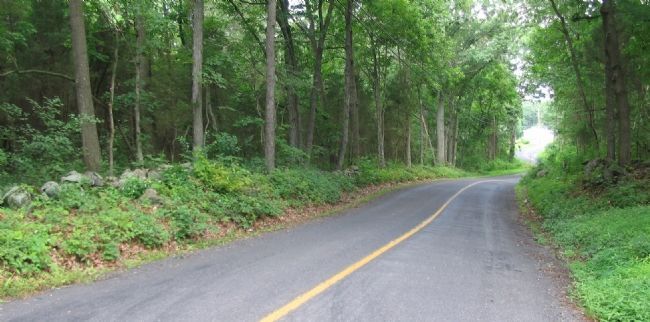
Straban Township near Gettysburg in Adams County, Pennsylvania — The American Northeast (Mid-Atlantic)
Union Second Cavalry Division
Inscription.
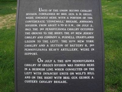
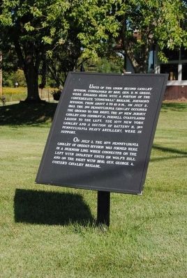
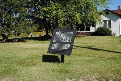
Units of the Union Second Cavalry Division, commanded by Brig. Gen. D.M. Gregg, were engaged here with a portion of the Confederate "Stonewall" Brigade, Johnston's Division, from about 6 to 10 p.m. on July 2, 1863. The 3rd Pennsylvania Cavalry occupied the ground to the right, the 1st New Jersey Cavalry and Company A, Purnell (Maryland) Legion to the left, the 10th New York Cavalry and a section of Battery H, 3rd Pennsylvania Heavy Artillery were in support.
On July 3, the 16th Pennsylvania Cavalry of Gregg's Division was formed here in a skirmish line which connected on the left with infantry units on Wolf's Hill and on the right with Brig. Gen. George Custer's Cavalry Brigade.
Topics. This historical marker is listed in this topic list: War, US Civil. A significant historical date for this entry is July 2, 1863.
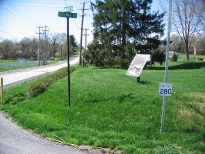
Location. 39° 49.293′ N, 77° 11.216′ W. Marker is near Gettysburg, Pennsylvania, in Adams County. It is in Straban Township. Marker is at the intersection of Hanover Road (Pennsylvania Route 116) and Hoffman Road, on the right when traveling west on Hanover Road. Touch for map. Marker is in this post office area: Gettysburg PA 17325, United States of America. Touch for directions.
Other nearby markers. At least 10 other markers are within one mile of this marker, measured as the crow flies. 10th New York Cavalry (approx. 0.2 miles away); 16th Pennsylvania Cavalry (approx. 0.6 miles away); Battery H, 3d Pennsylvania Heavy Artillery (approx. ¾ mile away); Third Brigade (approx. one mile away); Battery M, Second U.S. Artillery (approx. one mile away); First Maine Cavalry (approx. one mile away); Batteries E & G First U.S. Artillery (approx. one mile away); Braving the Firestorm (approx. one mile away); First New Jersey Cavalry (approx. one mile away); Second Brigade (approx. 1.1 miles away). Touch for a list and map of all markers in Gettysburg.
Photographed By Craig Swain, July 24, 2008
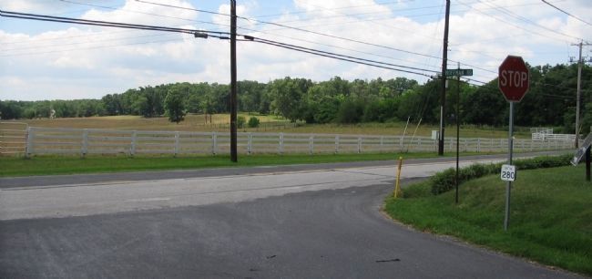
5. Brinkerhoff Ridge
Looking from the intersection towards the southwest. Brinkerhoff Ridge is the low wooded rise in the distance. The 1st New Jersey and Purnell Legion lines were in the open field on the opposite side of the Hanover Road. The 2nd Virginia Infantry held the ridge line.
Credits. This page was last revised on February 7, 2023. It was originally submitted on July 23, 2008, by Craig Swain of Leesburg, Virginia. This page has been viewed 1,299 times since then and 11 times this year. Photos: 1. submitted on May 13, 2011, by Eric Milask of Cherry Hill, New Jersey. 2. submitted on December 2, 2015, by Brian Scott of Anderson, South Carolina. 3. submitted on July 23, 2008, by Craig Swain of Leesburg, Virginia. 4. submitted on December 2, 2015, by Brian Scott of Anderson, South Carolina. 5, 6. submitted on August 28, 2008, by Craig Swain of Leesburg, Virginia.
