Jamestown in Chautauqua County, New York — The American Northeast (Mid-Atlantic)
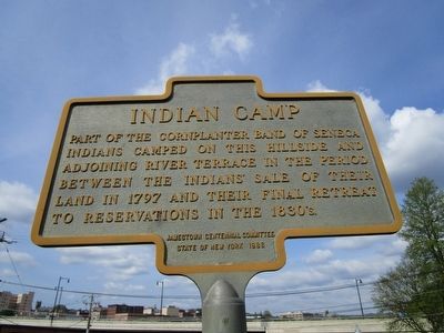
Indian Camp
Erected 1986 by Jamestown Historical Marker Committee & New York State.
Topics. This historical marker is listed in this topic list: Native Americans. A significant historical year for this entry is 1797.
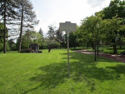
Location. 42° 5.508′ N, 79° 14.546′ W. Marker is in Jamestown, New York, in Chautauqua County. Marker is at the intersection of Glasgow Avenue and Barrett Avenue, on the left when traveling south on Glasgow Avenue. Touch for map. Marker is in this post office area: Jamestown NY 14701, United States of America. Touch for directions.
Other nearby markers. At least 8 other markers are within walking distance of this marker. WWI Memorial (a few steps from this marker); Public Market (about 700 feet away, measured in a direct line); Blackstone Corporation (approx. 0.2 miles away); First Grist Mill (approx. 0.2 miles away); Policeman George Kendall (approx. 0.2 miles away); Brooklyn Square (approx. 0.2 miles away); Home of Reuben E. Fenton (approx. 0.2 miles away); First Train (approx. 0.2 miles away). Touch for a list and map of all markers in Jamestown.
Regarding Indian Camp. The Chadakoin River is the river referred to on the marker.
Also see . . . Cornplanter - Wikipedia. (Submitted on May 23, 2016, by Anton Schwarzmueller of Wilson, New York.)
Credits. This page was last revised on June 16, 2016. It was originally submitted on May 23, 2016, by Anton Schwarzmueller of Wilson, New York. This page has been viewed 478 times since then and 48 times this year. Photos: 1, 2. submitted on May 23, 2016, by Anton Schwarzmueller of Wilson, New York.

