Jamestown in Chautauqua County, New York — The American Northeast (Mid-Atlantic)
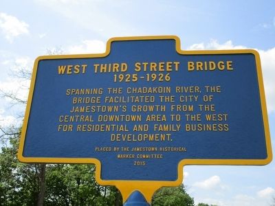
West Third Street Bridge
1925 - 1926
1925 - 1926
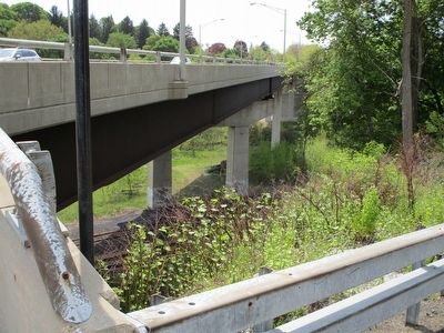
Spanning the Chadakoin River, the
bridge facilitated the city of
Jamestown's growth from the
central downtown area to the west
for residential and family business
development.
Erected 2015 by Jamestown Historical Marker Committee.
Topics. This historical marker is listed in this topic list: Bridges & Viaducts. A significant historical year for this entry is 1925.
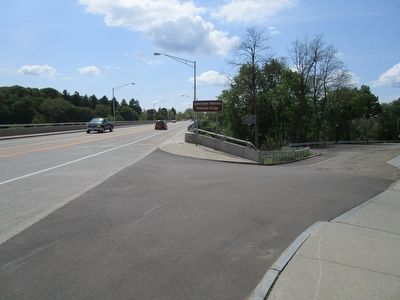
Location. 42° 5.697′ N, 79° 15.037′ W. Marker is in Jamestown, New York, in Chautauqua County. Marker is on West 3rd Street, 0.2 miles west of West 4th Street, on the right when traveling west. Touch for map. Marker is at or near this postal address: 560 West 3rd Street, Jamestown NY 14701, United States of America. Touch for directions.
Other nearby markers. At least 8 other markers are within walking distance of this marker. The Car Barns (a few steps from this marker); James Prendergast (about 600 feet away, measured in a direct line); Samuel A. Carlson (approx. 0.2 miles away); First Burial Ground (approx. 0.2 miles away); The Jamestown Underground Railroad Tableau (approx. 0.2 miles away); Baker Park (approx. ¼ mile away); Broadhead Power House (approx. ¼ mile away); Log Cabin 1810 (approx. ¼ mile away). Touch for a list and map of all markers in Jamestown.
Credits. This page was last revised on June 16, 2016. It was originally submitted on May 24, 2016, by Anton Schwarzmueller of Wilson, New York. This page has been viewed 537 times since then and 17 times this year. Photos: 1, 2, 3. submitted on May 24, 2016, by Anton Schwarzmueller of Wilson, New York.


