Marble Canyon in Coconino County, Arizona — The American Mountains (Southwest)
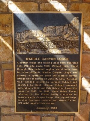
Marble Canyon Lodge
Photographed by Bill Kirchner, May 17, 2016
1. Marble Canyon Lodge Marker
Erected 1997 by Jane Foster, Marble Canyon Lodge.
Topics. This historical marker is listed in this topic list: Industry & Commerce. A significant historical date for this entry is June 14, 1929.
Location. 36° 49.091′ N, 111° 38.017′ W. Marker is in Marble Canyon, Arizona, in Coconino County. It can be reached from U.S. 89A at milepost 538. Marker is located at the Navajo Bridge Interpretive Center, on the west side of Navajo Bridge. Touch for map. Marker is in this post office area: Marble Canyon AZ 86036, United
this page online

Regionally, this marker is in Flagstaff & High Country, in the Navajo Nation, and in Hopi. It is also in the American Southwest, in the Mountain West, on the Colorado Plateau, and at the Four Corners. Globally, it is in North America, the Western Hemisphere, the Western World, and the Anglosphere. Historically, it finds itself in what was once New Spain and also Mexico’s Alta California.
Other nearby markers. At least 8 other markers are within walking distance of this marker: Lee's Ferry (within shouting distance of this marker); Lafe McDaniel (within shouting distance of this marker); Navajo Bridge (about 300 feet away, measured in a direct line); a different marker also named Navajo Bridge (approx. 0.2 miles away); John Deering (approx. 0.2 miles away); Lewis Nez (approx. 0.2 miles away); Navajo Bridge Erection Toggle Screw / Navajo Bridge (approx. 0.2 miles away); Lee Ferry (approx. ¼ mile away). Touch for a list and map of all markers in Marble Canyon.
Photographed by Bill Kirchner, May 17, 2016
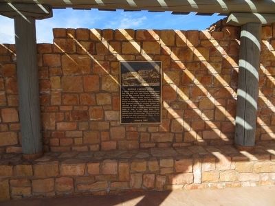
2. Marble Canyon Lodge Marker
Photographed by Bill Kirchner, May 17, 2016
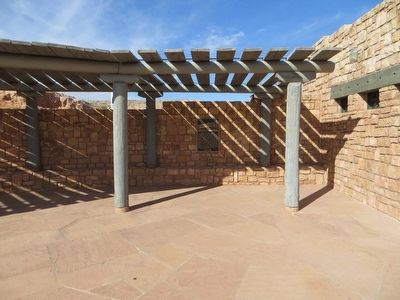
3. Marble Canyon Lodge Marker
Photographed by Bill Kirchner, May 17, 2016
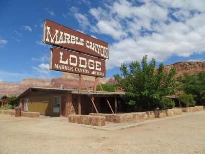
4. Marble Canyon Lodge
Credits. This page was last revised on June 16, 2016. It was originally submitted on May 26, 2016, by Bill Kirchner of Tucson, Arizona. This page has been viewed 1,285 times since then and 62 times this year. Photos: 1, 2, 3, 4. submitted on May 26, 2016, by Bill Kirchner of Tucson, Arizona.
