Near Marble Canyon in Coconino County, Arizona — The American Mountains (Southwest)
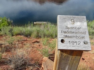
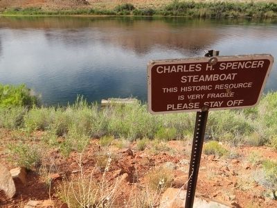
Charles H. Spencer “Paddlewheel” Steamboat
Paddlewheel
Steamboat
1912
Topics. This historical marker is listed in this topic list: Waterways & Vessels.
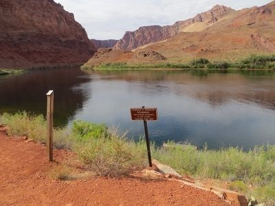
Location. 36° 51.945′ N, 111° 34.825′ W. Marker is near Marble Canyon, Arizona, in Coconino County. Marker can be reached from Lees Ferry Road. Marker is about 1/4 mile walk east from the end of Lees ferry road. Touch for map. Marker is in this post office area: Marble Canyon AZ 86036, United States of America. Touch for directions.
Other nearby markers. At least 8 other markers are within 5 miles of this marker, measured as the crow flies. Lees Ferry (approx. 0.2 miles away); a different marker also named Lee's Ferry (approx. 0.3 miles away); Navajo Bridge (approx. 4.3 miles away); Navajo Bridge Erection Toggle Screw / Navajo Bridge (approx. 4.4 miles away); Lewis Nez (approx. 4.4 miles away); John Deering (approx. 4.4 miles away); a different marker also named Navajo Bridge (approx. 4.4 miles away); Lafe McDaniel (approx. 4.4 miles away). Touch for a list and map of all markers in Marble Canyon.
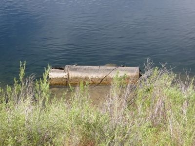
Regarding Charles H. Spencer “Paddlewheel” Steamboat. Built in 1912, this paddle wheel steamboat, the Charles H. Spencer, hauled coal to Lees Ferry from Warm Creek, 28 miles (45 km) upstream. The coal fueled Spencer's gold mining machinery. Abandoned in 1914, it sank in the shallow water nearby.
Related marker. Click here for another marker that is related to this marker. To better understand the relationship, study each marker in the order shown.
Credits. This page was last revised on June 16, 2016. It was originally submitted on May 27, 2016, by Bill Kirchner of Tucson, Arizona. This page has been viewed 738 times since then and 66 times this year. Photos: 1, 2, 3, 4. submitted on May 27, 2016, by Bill Kirchner of Tucson, Arizona.


