Glendora in Camden County, New Jersey — The American Northeast (Mid-Atlantic)
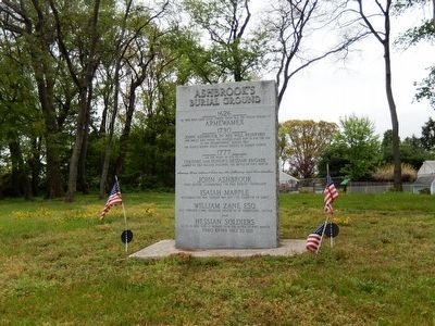
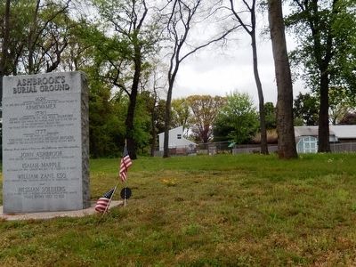
Ashbrook's Burial Ground
On this high bank along the Timber Creek was the Indian Village of
Armewamex
1730
John Ashbrook in his will reserved
“…one whole acre where the burying place now is for the use
of the neighborhood.” Making this
the oldest known public burial ground in Camden County.
1777
On the night of Oct. 22-23
Colonel Von Donop’s Hessian Brigade
camped on this hillside following the battle of Fort Mercer.
Among those interred here are the following and their families
John Ashbrook
First Settler-Assemblyman-“Ye High Sherife”-Freeholder.
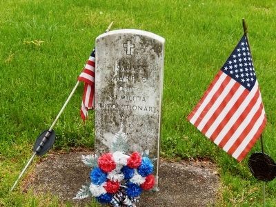
Isaiah Marble
Militiaman, Rev. War-Captain War 1812-“Ye collector of taxes”
William Zane, Esq.
Pres. Township Comm.-Presiding Officer Bd. of Freeholders-Justice
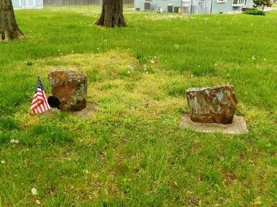
Hessian Soldiers
40 to 50 who died of wounds from the battle of Fort Mercer
names known only to God.
Topics. This memorial is listed in these topic lists: Cemeteries & Burial Sites • War of 1812 • War, US Revolutionary.
Location. 39° 50.384′ N, 75° 4.829′ W. Marker is in Glendora, New Jersey, in Camden County. Memorial is at the intersection of Station Avenue and Melvin Avenue on Station Avenue. Touch for map. Marker is in this post office area: Glendora NJ 08029, United States of America. Touch for directions.
Other nearby markers. At least 8 other markers are within 3 miles of this marker, measured as the crow flies. Clement's Bridge (approx. 0.2 miles away); The Clement Oak (approx. 0.6 miles away); The First Air Voyage in America (approx. 0.6 miles away); St. John the Evangelist Episcopal Church (approx. 1.1 miles away); Gabreil Daveis Tavern (approx. 1.1 miles away); Jonas Cattell (approx. 1.9 miles away); The Chew Powell House (approx. 2.3 miles away); Families in Magnolia (approx. 2.6 miles away).
Credits. This page was last revised on June 16, 2016. It was originally submitted on May 28, 2016, by Don Morfe of Baltimore, Maryland. This page has been viewed 1,135 times since then and 69 times this year. Photos: 1, 2, 3, 4. submitted on May 28, 2016, by Don Morfe of Baltimore, Maryland. • Bill Pfingsten was the editor who published this page.


