Mount Royal in Gloucester County, New Jersey — The American Northeast (Mid-Atlantic)
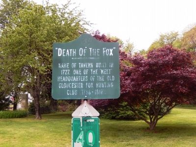
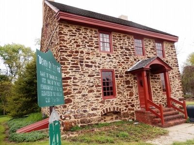
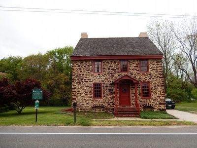
“Death of the Fox”
Topics. This historical marker is listed in these topic lists: Animals • Colonial Era. A significant historical year for this entry is 1727.
Location. 39° 48.338′ N, 75° 13.042′ W. Marker is in Mount Royal, New Jersey, in Gloucester County. Marker is on Kings Highway. Touch for map. Marker is at or near this postal address: 27 Kings Highway, Mount Royal NJ 08061, United States of America. Touch for directions.
Other nearby markers. At least 8 other markers are within 5 miles of this marker, measured as the crow flies. Bodo Otto (approx. 1.7 miles away); C. A. Nothnagle Log House (approx. 2.7 miles away); Tinicum Rear Range Lighthouse (approx. 3.1 miles away); Fort Billingsport (approx. 3.2 miles away); The Fort at Billingsport (approx. 3.4 miles away); Dennis Leary & William Barney (approx. 3.4 miles away); Billingsport, New Jersey (approx. 3.4 miles away); The Victor (approx. 4.1 miles away).
Credits. This page was last revised on June 16, 2016. It was originally submitted on May 30, 2016, by Don Morfe of Baltimore, Maryland. This page has been viewed 453 times since then and 21 times this year. Photos: 1, 2, 3. submitted on May 30, 2016, by Don Morfe of Baltimore, Maryland. • Bill Pfingsten was the editor who published this page.


