Monticello in San Juan County, Utah — The American Mountains (Southwest)
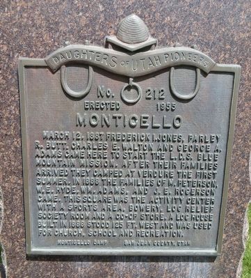
Monticello
Erected 1955 by Monticello Camp, Daughters of Utah Pioneers, San Juan County, Utah. (Marker Number 212.)
Topics and series. This historical marker is listed in this topic list: Settlements & Settlers. In addition, it is included in the Daughters of Utah Pioneers series list. A significant historical date for this entry is March 12, 1887.
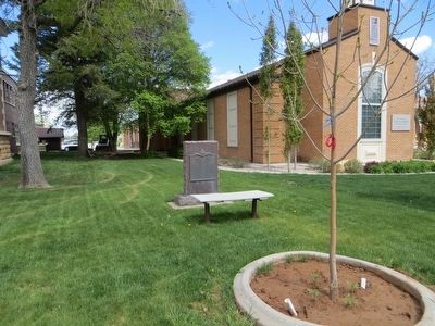
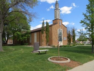
Location. 37° 52.245′ N, 109° 20.563′ W. Marker is in Monticello, Utah, in San Juan County. Marker is on South Main Street, on the right when traveling north. Touch for map. Marker is at or near this postal address: 165 South Main Street, Monticello UT 84535, United States of America. Touch for directions.
Other nearby markers. At least 8 other markers are within 6 miles of this marker, measured as the crow flies. Sod Roof Cabin (about 300 feet away, measured in a direct line); Cowboy Tack Shed (about 300 feet away); Old Log Church (about 300 feet away); Log Cabin (about 300 feet away); Hyland Hotel (about 700 feet away); Veterans Memorial (about 800 feet away); The Traveling Jail Cell (approx. 0.2 miles away); Verdure (approx. 5.9 miles away). Touch for a list and map of all markers in Monticello.
Credits. This page was last revised on June 16, 2016. It was originally submitted on June 10, 2016, by Bill Kirchner of Tucson, Arizona. This page has been viewed 520 times since then and 32 times this year. Photos: 1, 2, 3. submitted on June 10, 2016, by Bill Kirchner of Tucson, Arizona.


