Near Norton in Runnels County, Texas — The American South (West South Central)
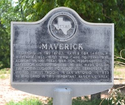
Maverick
Founded in the 1870’s. Named for Samuel A. Maverick (1803-1870), who came to Texas 1835. Fought in the Texas War for Independence. In Secession Convention, 1861, he was made one of the commissioners to negotiate surrender of United States troops in San Antonio. In 1853 he had land in this important ranching area.
Erected 1964 by State Historical Survey Committee. (Marker Number 3259.)
Topics. This historical marker is listed in these topic lists: Settlements & Settlers • War, Texas Independence. A significant historical year for this entry is 1870.
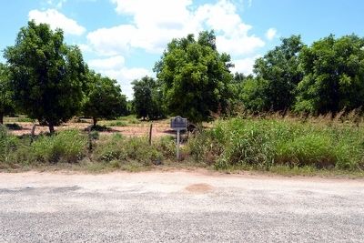
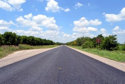
Location. 31° 50.203′ N, 100° 12.094′ W. Marker is near Norton, Texas, in Runnels County. Marker is on State Highway 158, 0.3 miles east of County Road 297, on the right when traveling east. Touch for map. Marker is in this post office area: Norton TX 76865, United States of America. Touch for directions.
Other nearby markers. At least 8 other markers are within 7 miles of this marker, measured as the crow flies. W.H. Brown (approx. 0.4 miles away); Townsite of Marie (approx. 4.3 miles away); Town of Norton (approx. 5 miles away); Bronte (approx. 6.1 miles away); First Baptist Church (approx. 6.3 miles away); First Methodist Church (approx. 6.3 miles away); Fort Chadbourne C.S.A. / Texas Civil War Frontier Defense (approx. 6.4 miles away); Bronte Depot (approx. 6˝ miles away). Touch for a list and map of all markers in Norton.
Also see . . . Maverick, TX. From the Texas State Historical Association’s “Handbook of Texas Online”. (Submitted on June 19, 2016.)
Credits. This page was last revised on November 28, 2020. It was originally submitted on June 19, 2016, by Duane Hall of Abilene, Texas. This page has been viewed 692 times since then and 38 times this year. Photos: 1, 2, 3. submitted on June 19, 2016, by Duane Hall of Abilene, Texas.


